
GPS Photo Location with Map vVARY
GrowUp Infotech
About this app
Developer Description
This Application to add tag and share your photos with precise location Data.
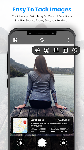
GPS Photo Location with Map App is a powerful tool that captures the live location details with the camera.
This app not only helps users keep memories in detail with perfect places but also enhances their photography experience by enabling precise location tagging.
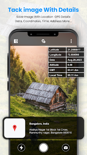
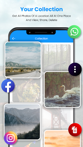
This GPS Photo Location with Map will provide all the current location details with tags in photos and you can save all your created files into my creation folder.
The GPS Photo Location with Map App is the best tool for anyone who wishes to navigate the world with precision, document their journeys, and enhance their photography experience.
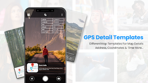
Now enhance your anytime photography by using this amazing GPS Camera Location tool which allows a variety of tag templates to enhance your photography with the best tags.
Simple and easy-to-use app allows you to cover live location details in a photo clip.
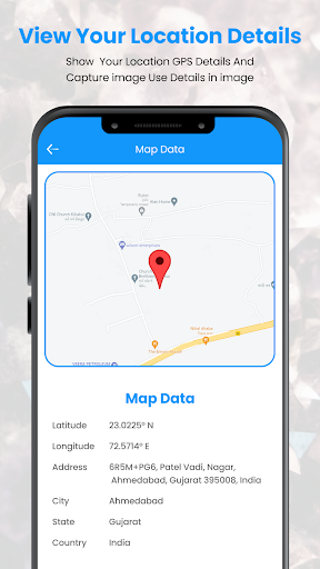
GPS Photo Location with Map also provides map data in which you find the exact location where you are and also find the latitude, longitude, address, city, state, and country details with just a click.
One of the best ways to create and save the memories where you travel last.
Features of the GPS Photo Location with Map App
The app provides users with accurate GPS navigation
The app can pinpoint your location and provide turn-by-turn directions
App allows to add tag the exact location where a photo was taken
Easily shared with friends and social media followers
Easy to add tags to photos
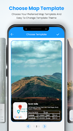
Find different tags template collection
Easy to save collected images in the app creation folder
Map Data to find accurate locations on map
Add tag details like latitude, longitude, date, altitude, GSM, location address, and time
Clear UI Design and easy-to-use app.
In-app purchases
$3.49 - $35.99 per item
Version Information
- Version
- -
- Downloads
- 10K+
- Updated on
- -
- Released
- Sep 19, 2023
- Requires
- Android Varies with device
Statistics
Google Play Rating History
Rating Distribution
Downloads Over Time
GPS Photo Location with Map has been downloaded times. Over the past 30 days, it averaged downloads per day.
Shaded area shows 30-day prediction based on historical trends
Historical data collection started recently. More data points will be available over time.
GPS Photo Location with Map users say on Google Play
 Maryam Shakeel
Nice
 Ritesh Kadam
The name of place does not show correctly like village , district.
ApkTrusted Ratings & Reviews
More from GrowUp Infotech
See more apps
AI Photo Video Collage Maker
Free

Song Video Maker - Photo Video
Free

Wifi Maps Master : WiFi Tools
Free

DJ Mixer - Music Mixer
Free
Distance & Land Area Measure
Free

Intro Video Maker - Animation
Free
Live Weather: Weather Forecast
Free

GPS Field Navigator
Free
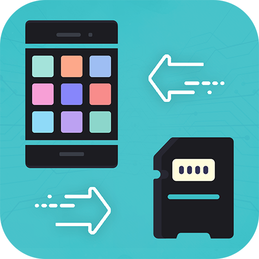
Move to SD Card
Free
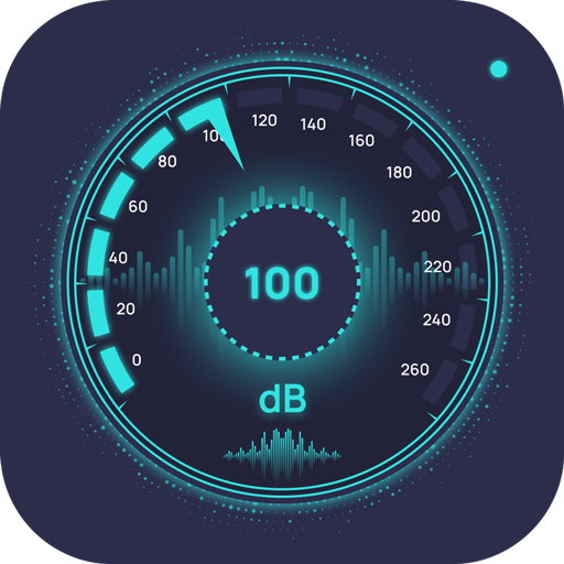
Sound Level Meter
Free

Audio Earbud Equalizer
Free

Neon FX Video Effects
Free

Hearing Clear: Sound Amplified
Free

Screen Time Control - Off Stay
Free

Magic Animation Video Effect
Free

Digital Marketing Video Maker
Free
Scan this QR code to download

Forwarding you to the page at Google Play market in seconds...
Open Google Play market now