
Fireguard Wildfire Tracker v9.12.4
Qvyshift LLC

About this app
Developer Description
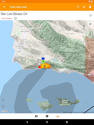
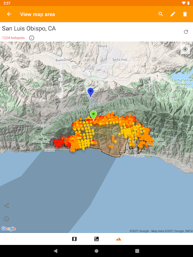
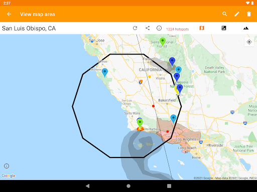
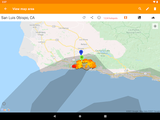
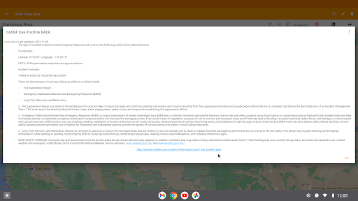
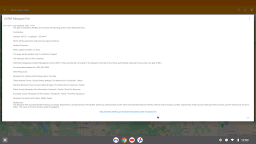
Global wildfire detection using NASA active fire data
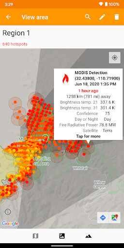
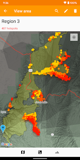
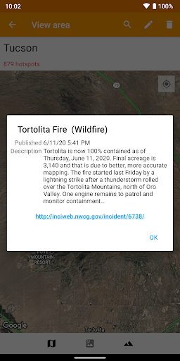
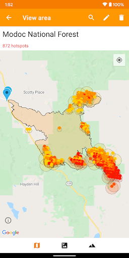
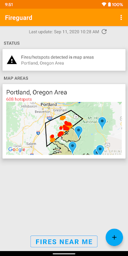
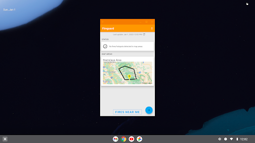
See details of fire activity overlaid on a single map:
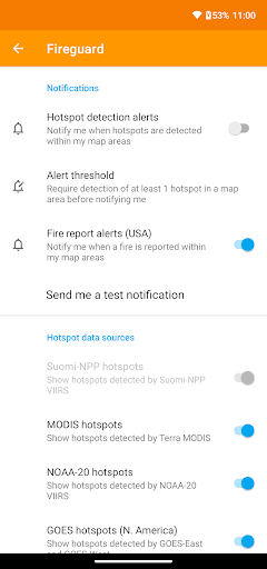
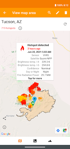
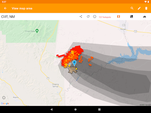
• Hotspots identified by satellite-based sensors
• US & Canada wildfire incident reports
• Wildfire burned area boundaries
• Crowdsourced fire report markers
• NOAA smoke areas
• Cal Fire incident detail
• Fire weather risk areas
• Fire cameras
Who can benefit from this app?
• Anyone living or working in wildfire-prone areas
• People who may want to alert family members in remote or high-risk areas
• Anyone interested in emergency preparedness and wildfire risk reduction
No login or registration required.
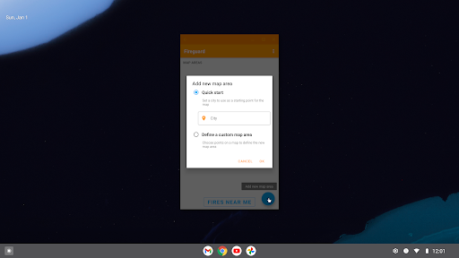
QUICK START: Open app and tap on "Fires near me"
Ad-supported. If you like the app, please consider upgrading with a one-time purchase to unlock bonus features, disable advertising, and support future development.
In-app purchases
$9.99 per item
Version Information
- Version
- 9.12.4
- Downloads
- 100K+
- Updated on
- May 17, 2025
- Released
- Jun 14, 2018
- Requires
- Android 7.0
Statistics
Google Play Rating History
Rating Distribution
Downloads Over Time
Fireguard Wildfire Tracker has been downloaded times. Over the past 30 days, it averaged downloads per day.
Shaded area shows 30-day prediction based on historical trends
Historical data collection started recently. More data points will be available over time.
Fireguard Wildfire Tracker - Google Play Rankings
Top Rankings
| Rank | Country | Category | List | Change |
|---|---|---|---|---|
| — |
Ranking History in
No ranking data available yet. Rankings are updated daily.
#31 in Top Grossing Weather in Argentina

#76 in Top Free Weather in Argentina


#92 in Top Free Weather in Australia

Fireguard Wildfire Tracker users say on Google Play
 Jim Spear
Easily define the boundaries for any area to monitor and receive realtime updates on emerging hotspots. I also like the ability to drill down into fire boundaries and get detailed fire updates from third parties. Zoom out and get a map of the smoke impact.
 Monique Steyn
Testing this app for our area, Western Cape, South Africa. Unless I'm missing it, there doesn't seem to be a distance calculator directly on the app. Shows a distance when one taps on more info, however, I'm assuming is a distance of one's current location? Not to a specific location elsewhere? One can go to co-ords > Google earth. Is there a possibility for this to be developed still? The quality on mobile seems really good and it is showing accurately an active fire nearby.
 Pat Janke
Was great when it worked. Has just stopped working. And yes I've done uninstall/reinstall. As of 8.27 am this morning still not working
 Joseph Smith
Tried it, uninstalled within minutes. Didnt even get a chance to check out the most basic functions of the app without getting constant popover ads and a request to pay for an ad free version.
 Jessica Bagby
I downloaded 4 different wildfire watch apps, and this was the worst. I know, for 100% surety, there is a 12,000+ acre fire about 50 miles away from me, and another small one about 25 miles away from me. This app shows the big fire as a bunch of tiny "hot spots" but has zero info about it, no size, no containment %, nothing. It shows nothing (as in it says there is no fire) on the map for the smaller fire. There are MUCH better fire/disaster apps available, like Watch Duty. Good luck!😅
ApkTrusted Ratings & Reviews
More from Qvyshift LLC
See more apps
Havasu Scanner Feed
Free

Heat Safety: Heat Index & WBGT
Free

Route Planner
Free
Mine Locator Map
Free

Price Check
Free

Fixa Club - Roleplay!
Free

Hydrogen Stations USA
Free
Geo: Convert GPS Coordinates
Free

Lowered Cars BR
Free

Propane Autogas Stations USA
Free

Flood Zone Map
Free

Off-Network EV Charging Points
Free

E85 Stations USA
Free

LNG Stations USA
Free

CNG Stations USA
Free
Biodiesel Stations USA
Free
Scan this QR code to download

Forwarding you to the page at Google Play market in seconds...
Open Google Play market now