
Geoclass Surveying Calculator v3.6.0
Edip Ahmet Taskin


About this app
Developer Description
A modern engineering app with surveying and GIS aromas
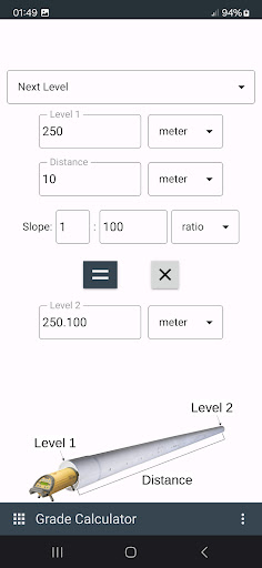
Geoclass supports metric and imperial units for distance and area. Coordinate units are in metric and degree.
Using Geoclass you can do:
- Collect points: You can collect points and share the points with UTM Map module. You can also navigate to the points.
- Measure distance, bearing / azimuth from two points.
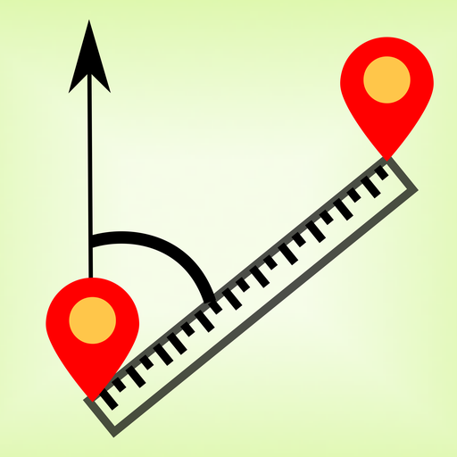
- Measure angle from 3 points.
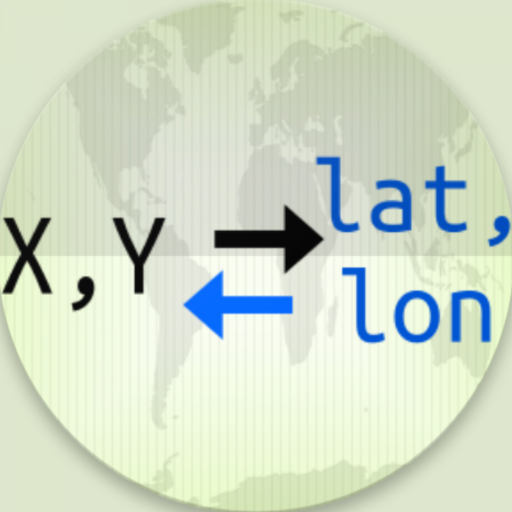
- Calculate latitude, longitude or X,Y from coordinate, distance and bearing / azimuth.
- Intersections; forward, line - line and circle by 3 points
- Convert latitude longitude to UTM or vice versa
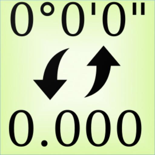
- Calculate decimal to degree, minute, second
- Stake out latitude and longitude coordinates. Navigate to it from your position with distance label on the map
- Navigate to coordinate from your position on the map
- Display UTM location on online maps with latitude, longitude, MGRS, X,Y coordinates
- Generate coordinates from two points. You can generate using X,Y or latitude, longitude
- Convert local coordinates
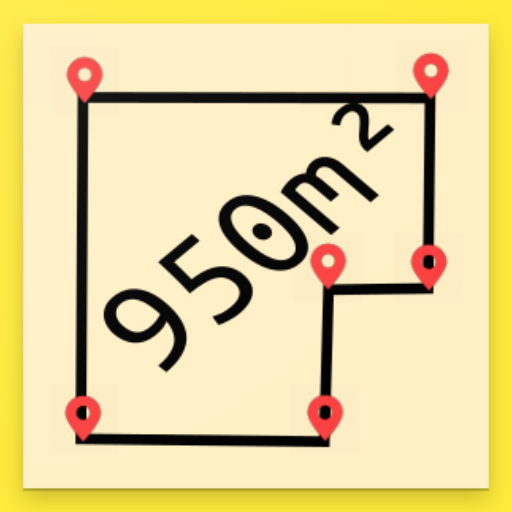
- Calculate area from X,Y coordinates
You can follow news about the app on Facebook Page:
fb.me/surveyingcalculator
What's New
Version Information
- Version
- 3.6.0
- Downloads
- 50K+
- Updated on
- Dec 1, 2024
- Released
- Dec 6, 2017
- Requires
- Android 8.0
Statistics
Google Play Rating History
Rating Distribution
Downloads Over Time
Geoclass Surveying Calculator has been downloaded times. Over the past 30 days, it averaged downloads per day.
Shaded area shows 30-day prediction based on historical trends
Historical data collection started recently. More data points will be available over time.
Geoclass Surveying Calculator users say on Google Play
 Taiwo Salam & Co. Properties Limited
Good afternoon, I really enjoying your your app, it's a real blessing for me to come across it. God will continue to enrich your knowledge. I want to ask if you have any solution app on how to convert bearing and distance to plotting? Just the way coordinate can be plot automatically. Or any solution that can do the plotting by starting with coordinate and continue with bearing and distance like you are using Autocad computation for plotting. I will be gad to hear from your team.
 A Google user
this app is absolutely helping i recommend it to users that do distance verification. but the azimuth dosen't match with ours in morocco. i need to know if i am taking somthing wrong. thanks for providing such a good app
 Antim Malik
Very good app
 OLOYEDE Sanjo Samson
Its just amazing
A Google user
There is no point ( . ) option in key board while calculating distance between coordinates. fix it thanks. i will give you 5 starss
ApkTrusted Ratings & Reviews
More from Edip Ahmet Taskin
See more apps

Similar Apps


Scan this QR code to download

Forwarding you to the page at Google Play market in seconds...
Open Google Play market now