Map of NYC Subway v2.8.4
Apptastic Software


About this app
The Map of NYC Subway app effectively solves the problem of navigating the complex New York City subway system without requiring an internet connection, making it an indispensable tool for tourists and daily commuters alike. This app stands out in the Maps And Navigation category due to its comprehensive offline map coverage, including NYC subway and transit maps, which is particularly beneficial in areas with poor internet connectivity. Compared to alternatives, its simplicity and the absence of internet requirements make it a preferred choice for many users. However, the presence of ads might be a drawback for some, potentially affecting the user experience.
Pros
- With over 100,000 downloads and an excellent user rating of 4.8/5, this app demonstrates high social proof and user satisfaction, indicating its reliability and effectiveness in meeting user needs.
- The app's offline capability is a significant advantage, allowing users to access maps even in areas with no or poor internet connectivity, which is especially useful for navigating unfamiliar territories.
- The developer's reputation and the app's frequent updates suggest a commitment to maintaining and improving the app, ensuring that users have access to the most current information and features.
- The absence of in-app purchases and the free-to-use model, despite containing ads, makes the app accessible to a wide range of users without additional financial burdens.
- The app's simplicity and ease of use, combined with its comprehensive map coverage, make it an accessible tool for users of all technical skill levels.
Cons
- The presence of ads in the app could potentially detract from the user experience, especially if the ads are intrusive or overly frequent, which might lead some users to seek ad-free alternatives.
- Despite the app's overall high rating, some users might experience issues with map updates or accuracy, which could impact the app's usefulness for navigation.
- The app's reliance on ads for monetization might raise concerns about data collection for advertising purposes, which could be a privacy concern for some users.
- There is a potential for the app to consume battery life or data when updating maps or displaying ads, which could be a concern for users with limited data plans or older devices.
Best for: The ideal user for the Map of NYC Subway app is anyone who frequently navigates the New York City subway system, including tourists, commuters, and residents, particularly those who value offline access to maps and are comfortable with an ad-supported model, and possess a basic to intermediate level of technical skill to navigate the app's features and settings.
Developer Description
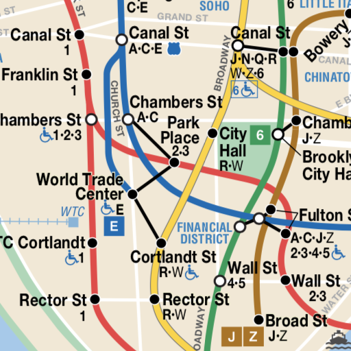
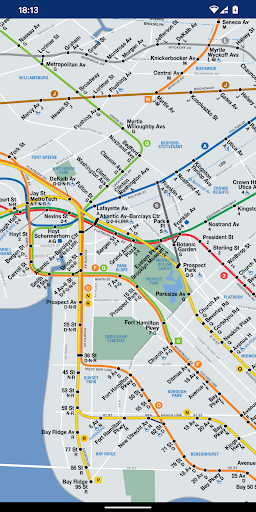
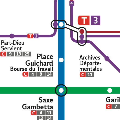
All maps including NYC subway and transit maps; no internet required
No internet connection required.
You can zoom in, zoom out, scroll around. Very simple and easy to use!
This app is excellent for visitors to NYC and permanent New Yorkers alike.
All maps included in the app:
- Subway System
- Subway Late Night Service Map
- Regional Transit Diagram
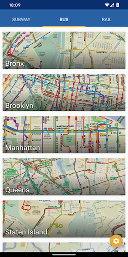
- Bus map for Bronx
- Bus map for Brooklyn
- Bus map for Manhattan
- Bus map for Queens
- Bus map for Staten Island
- Bus map for Staten Island Express Bus
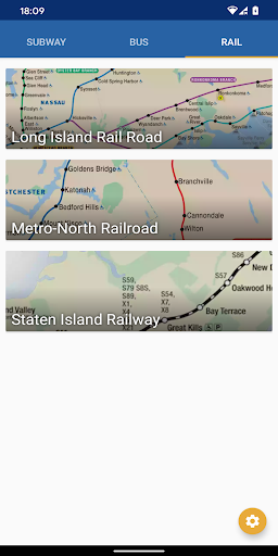
- Rail map for Long Island Rail Road network map (LIRR)
- Rail map for Metro-North Railroad
- Rail map for Staten Island Railway (SIR)
- CT rail
- Hartford line
- New Haven line
- Short Line East
- Amtrak
- CT fastrak
- PATH rail system
- JFK AirTrain
- JFK Airport
- NYC Ferry
- New Jersey Transit
- NJ Transit Train System map
- Huston-Bergen Light Rail
- Newark Light Rail
- River LINE
- Montclair-Boonton Line
- Morristown Line
- Main Line
- Bergen Line
- Pascack Valley Line
- Meadowlands Rail Line
- Gladstone Branch
- Raritan Valley Line
- Northeast Corridor
- North Jersey Coast Line
- Atlantic City Line
- Patco High Speed Line
- City map
- Metro, Subway, and Underground maps
Support indie developers! If you have any problems or feedback, please send an email. Thank you!
Privacy
Given that the app requires no permissions, it poses minimal risk to user privacy and security, suggesting that the data collection, if any, is likely limited to anonymous usage statistics or advertising identifiers. However, users should still be cautious of ads that might collect data for targeted advertising. To enhance privacy, users can consider using the app in conjunction with a privacy-focused browser or ad-blocking software when accessing external links from the app.
Tips
For the best experience, users should ensure their device has sufficient storage space for map downloads and consider setting the app to update maps over Wi-Fi only to conserve data. Additionally, familiarizing oneself with the app's features, such as bookmarking frequently used stations or routes, can enhance the navigation experience. Regularly checking for updates can also ensure that users have access to the latest map versions and features.
What's New
• Various updates
Version Information
- Version
- 2.8.4
- Downloads
- 100K+
- Updated on
- Dec 16, 2025
- Released
- Jan 4, 2019
- Requires
- Android 7.0
Statistics
Google Play Rating History
Rating Distribution
Downloads Over Time
Map of NYC Subway has been downloaded times. Over the past 30 days, it averaged downloads per day.
Shaded area shows 30-day prediction based on historical trends
Historical data collection started recently. More data points will be available over time.
Map of NYC Subway users say on Google Play
 Gary Meyer
Helpful when you're down in the subway looking for a subway map from the token booth that clerk just to find out no they never seem to have any more paper maps to hand out to their riders ... Which seems to be ridiculous .
 Cheryl Montanez
I like the colors that represent the train lines. The Maps keeps me knowing the stops that I need to see. It helps me with navigation & direction plus. It's my personal convenient go to Subway map.
 King Joel
it took like 10 seconds to load in but, it's hard to find the station I need 3 out of 5
 Sharon Roth
Poor load time, pinch zoom was buggy. installed a map by LithoByte and had a MUCH better experience
ApkTrusted Ratings & Reviews
More from Apptastic Software
See more apps
Barcelona Metro Maps
Free
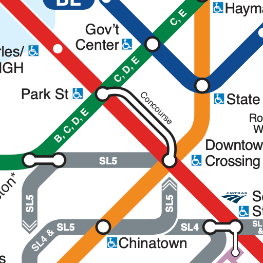
Boston Subway Map
Free
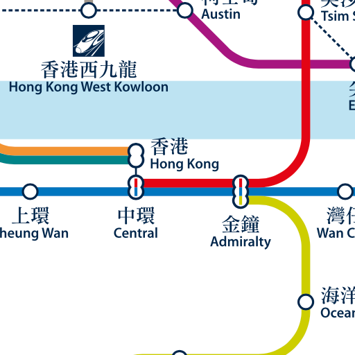
Hong Kong Metro Map
Free

Istanbul Metro Maps
Free
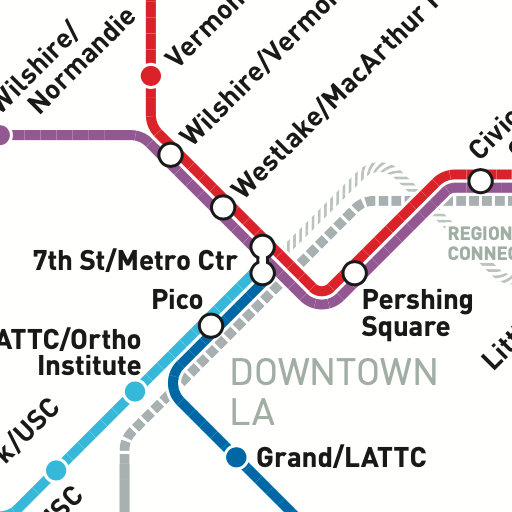
LA Metro Maps
Free
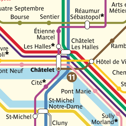
Paris Metro Maps
Free
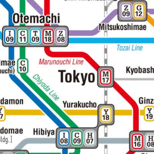
Tokyo Metro Maps
Free
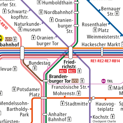
Berlin Liniennetz S und U Bahn
Free
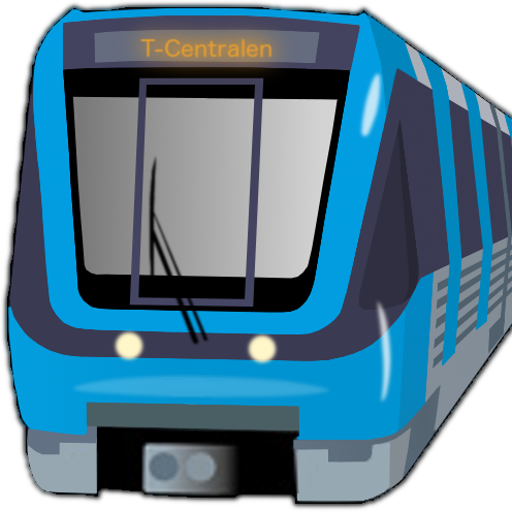
SL Stockholm Commute
Free
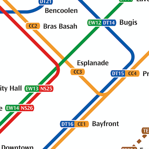
Singapore Metro Map MRT & LRT
Free
Lyon Metro Map
Free

Madrid Metro Map (Offline)
Free
Similar Apps

NJ TRANSIT Mobile App
Free

Wanderu: Bus & Train Tickets
Free

Paris Metro – Map and Routes
Free

TfL Go: Plan, Pay, Travel
Free
MyTransit NYC Subway & Bus MTA
Free

Le Pass
Free

DFW Airport
Free

Mapway: Maps & Transit Planner
Free

Eurostar: Train travel & Hotel
Free

Eurail/Interrail Rail Planner
Free

BBBUS COM
Free

Norwegian Cruise Line
Free

Revealed Travel Guides
Free

VoiceMap: Audio Tours & Guides
Free

Honge.ai - AI Travel Planner
Free

Alaska Airlines - Travel
Free
Scan this QR code to download

Forwarding you to the page at Google Play market in seconds...
Open Google Play market now