Variometer-Sky Land Tracker v26.0
우승호


About this app
Developer Description
Flight instruments is expensive, but your phone also can be expensive equipment.
Approved CIVL flight instrument for FAI Category 1.(https://www.fai.org/page/civl-xc-instrument-accepted)
Variometer, Vario, G_Vario, G_Variometer, Tracker (Compatible for GPS only or Phone Baro Sensor or FlyNet2 or BlueFlyVario or GoFly Pico), 3D Track View with 3D terrain maps.
Paragliding, hang gliding and all air sports, Radio Control Plane and skiing, sailing, mountain climbing, etc.
Portal tracker instruments for all Outdoor sports.
Support Offline map as MapsForge(.map) offline map
Support FAI-CIVL(http://vali.fai-civl.org/supported.html) valid IGC files. (GNSS : http://g-variometer-vali.blogspot.kr)
Flight instruments is expensive, but your phone is also expensive equipment.
Your phone is better than that , you can perform a variety of functions.
Using Compass & GPS & Pressure Sensor, flight time, speed, altitude, vertical speed, L/D is displayed.
If your phone is equipped with pressure sensor, In air sports mode, variometer functions can be maximized.
Pressure Sensor sensitivity of this filter using the Fourier Transform is better than any other filter using a simple lowpass filter or kalman.
Therefore more precise user setting is possible.
After simple one click, Ready to take off at once, auto-start-stop, manual-start-stop is possible
Big font and high contrast raised the visibility in outdoor.
Through manual built in the app, you can learn easily how to use.
Flight time, battery level, GPS status, and vertical speed, maximum speed, speed, maximum altitude, altitude, Hpa pressure, temperature (varies by altitude), weather (wind direction, wind speed), Task orientation, remaining distance, the total path length, Fuel Gage(for Motor Skysports) are displayed
It displays the direction and intensity of drift and thermal detecting also.
Waypoint and Route creation is easier and faster than any other app.
Waypoint Import Export Support (WPT, CUP format)
Map of the Google, OSM, GoogleV2 is used in various ways.
Track play function is best function same as seeing the actual flight.
Indexing and rewinding and the execution speed can be adjusted.
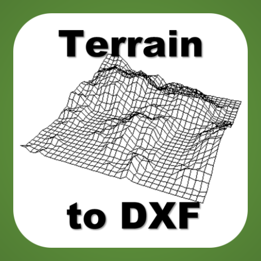
You can also see in 3D Track(shared track) with 3D terrain maps(shared track).
Seeing track thumbnail, you can easily find a specific flight record and
Your indexing speed can be also fast through altitude graph.
Track files can be sent via email to other users and
In addition, KML, GPX files are saved and automatically converted.
Navigation displays to the users the real-time shortest course from the current location and flight direction to next task, remaining distance, needed altitude against glide ratio
In briefing, share discussion with colleagues easy.
The units (mile, feet, meter, knot, ft / s, m / s, mph, kph, ℃, ℉) can be freely selected.
Coordinate system of the DD-MM-SS.SS, UTM, WGS84, etc can be selected
When performing in background Mode, track can be recorded throughout the day precisely and
During the mode, the sonic variometer functions and task passing, starting height sound alarm can be performed continuously.
The altitude can be set in a variety of ways.
Based Terrain Elevation, sea level air pressure reference, GPS altitude, the user manual setting is possible.
GPS environment will be best in flight, You can get reliable performance.
The following specific rights are
android.permission.ACCESS_GPS
android.permission.GET_ACCOUNTS
Direct GPS connection is required due to FAI IGC file creation regulations,
We use a user account to make it convenient for you to share your track files.
For feature requests and uncomfortable, please send mail to.
airfoil.hangglider@gmail.com
What's New
Version Information
- Version
- 26.0
- Downloads
- 1K+
- Updated on
- Aug 26, 2025
- Released
- May 20, 2011
- Requires
- Android 5.0
Statistics
Google Play Rating History
Rating Distribution
Downloads Over Time
Variometer-Sky Land Tracker has been downloaded times. Over the past 30 days, it averaged downloads per day.
Shaded area shows 30-day prediction based on historical trends
Historical data collection started recently. More data points will be available over time.
Variometer-Sky Land Tracker users say on Google Play
 A Google user
Superb app, been paragliding 18 years and hang gliding 2 months. Was going to spend $600 on flytec device...but why? this app almost as good, will put money towards new Moyes Gecko instead. Cheers
A Google user
App developer has been awesome in the past. Just got a new phone and downloaded newest version. The app is requesting access to the microphone. Why does it need to access my microphone? I don't want to grant this access and would like a version that doesn't request to access my mic.
A Google user
Vario not working. Says "baro on" then "parsing F" then "baro off". My barometer sensor is definitely working as it gives readings in other apps.
ApkTrusted Ratings & Reviews
More from 우승호
See more apps

Scan this QR code to download

Forwarding you to the page at Google Play market in seconds...
Open Google Play market now