
Geotag Photos with GPS Stamps vVARY
Master Apps Lab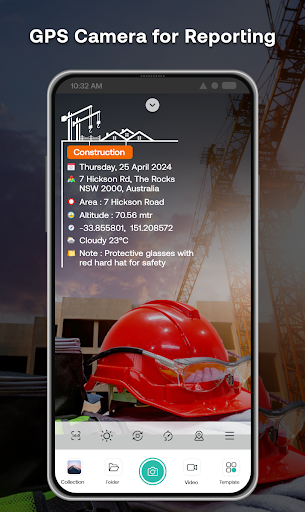


About this app
Developer Description
GPS Stamp Camera to capture Geotagged photos with Timestamp and location tag
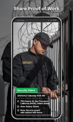
📸 Capture. 🌍 Geotag. 🗂️ Report.
Take geotag photos with live GPS location and latitude-longitude using our Geotagging Photos app. Auto-add accurate geotags, timestamps, and location info to your photos and videos. Whether for fieldwork, engineering, transportation, or travel, Geotag Camera ensures every photo includes essential location details with latitude/longitude.
⭐Capture Work Reports Instantly with Pre-Built Templates:
🔰Service Stamps: Perfect for tracking deliveries, tasks, and operations by capturing geotagged photos with precise timestamps and photos with location details.
🔰Field Stamps: Ideal for documenting outdoor projects, surveys, and site inspections, ensuring every geotag photo includes accurate geotag and timestamp information.
🔰Office Stamps: Useful for meetings, attendance tracking, and work records with customizable templates for geotagging photos and adding photos with location details.
⭐Main Stamp Fields in Geotag Photos & GPS Stamp Camera app include:
💠Logo: Add your brand/logo to photos for identification.
✒️Subject: Tag geotag photos with specific project names or categories.
🗓️Date Format: Customize date format (DD/MM/YYYY, etc.).
📍Location: Geotag photos with GPS coordinates & location.
🗺️Area: Record work area details for documentation.
🏔️Altitude: Capture altitude data for location precision.
🧭Compass: Include compass direction for orientation.
🌐Coordinates: Automatically add latitude-longitude for photo geotagging.
🌡️Temperature: Tag photos with current temperature details.
🌬️Wind Force: Document wind speed for environmental conditions.
🍃Air Quality: Capture air quality data for environmental checks.
👷Contractor: Tag photos with contractor details for accountability.
👨💼Supervisor: Document supervisor info for project oversight.
👨🏻🔧Worker: Identify workers captured in Geotag pictures.
📝Note: Add geo notes for additional context to geo-tagged photo.
⭐Geotagging Photos app for Every Need – Fieldwork, Travel, Office & More:
✔️Fieldwork Documentation
-Capture detailed photos with geotag and GPS camera with time stamp for surveying, construction, and land management.
✔️Engineering Work
-Track project progress with geotagging photos and documenting construction phases and technical details.
✔️Office Work & Meetings
-Capture meeting details, track attendance, and clock in/out times with geotagging photos app.
✔️Transportation & Delivery
-Document deliveries, monitor routes, and verify task completion with GPS Mapping Camera.
✔️Travel & Adventure
-Easily document journeys, capture moments and share adventures with geotagged photos.
✔️Work Reporting & Project Management
-Create detailed reports with geotagging photos to track progress and manage projects.
Auto Geotag Camera with GPS Stamps is perfect for professionals in various fields. Capture every detail with accurate location and time tagging to improve your geotagging photos app documentation and reporting.
📲 Download Geotag Photos with GPS Stamp Location Now!
In-app purchases
$4.99 per item
Version Information
- Version
- -
- Downloads
- 100K+
- Updated on
- -
- Released
- Nov 12, 2021
- Requires
- Android Varies with device
Statistics
Google Play Rating History
Rating Distribution
Downloads Over Time
Geotag Photos with GPS Stamps has been downloaded times. Over the past 30 days, it averaged downloads per day.
Shaded area shows 30-day prediction based on historical trends
Historical data collection started recently. More data points will be available over time.
Geotag Photos with GPS Stamps users say on Google Play
 Kartik Makwana
Amazing..!!😍 application for personal and business use. And must say very intuitive and easy to use. It has impressive free templates to create your watermark with full range of editing details. I would recommend it.👍
 Madiwalayya Hiremath
good
 Ashish Rajput
good
 Mohibullah Khan
not good
 HARBEL SINGH Toor
, ,, AA
ApkTrusted Ratings & Reviews
More from Master Apps Lab
See more apps
Simple Calculator with History
Free
Watermark Stamp: Text on Photo
Free

Shot On Stamp Photo Camera
Free

Auto Logo Watermark on Photo
Free

Signature Stamp On Camera Pics
Free

Reverse Play : Sing Challenge
Free

Export Contacts: Contact Mover
Free
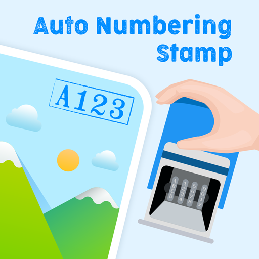
Auto Numbering Sequence Stamp
Free
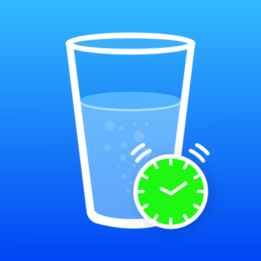
Hydro-Fit: Workout & Hydration
Free
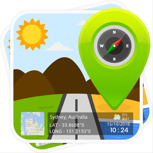
GPS Map Stamp Camera
Free

Shot On Video Stamp Camera
Free
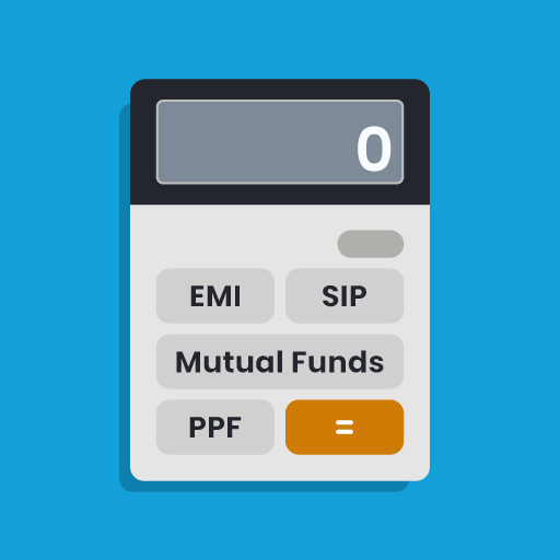
Finance Calculator Plus
Free

Digital Compass: GPS Direction
Free

Skip Ads: Auto Skip Video Ads
Free

BG Remover & Changer of Photo
Free

Date and Time Stamp: Timesnap
Free
Similar Apps


Scan this QR code to download

Forwarding you to the page at Google Play market in seconds...
Open Google Play market now