USA Political Map vVARY
AAB Store
About this app
Developer Description
United States Political Map
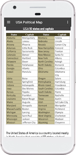
Alabama, Alaska, Arizona, Arkansas, California, Colorado, Connecticut, Delaware, Florida, Georgia, Hawaii, Idaho, Illinois, Indiana, Iowa, Kansas, Kentucky, Louisiana, Maine, Maryland, Massachusetts, Michigan, Minnesota, Mississippi, Missouri, Montana, Nebraska, Nevada, New Hampshire, New Jersey, New Mexico, New York, North Carolina, North Dakota, Ohio, Oklahoma, Oregon, Pennsylvania, Rhode Island, South Carolina, South Dakota, Tennessee, Texas, Utah, Vermont, Virginia, Washington, West Virginia, Wisconsin, Wyoming.
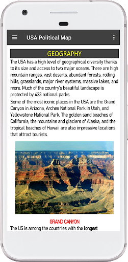
About the United States Political Map:
The Us Political Map shows the contiguous USA (Lower 48) and bordering countries with international boundaries, the national capital Washington D.C., US states, US state borders, state capitals, major cities, major rivers, interstate highways, railroads (Amtrak train routes)
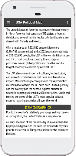
The Political Map of USA is a federal nation of 50 states that covers the central part of North America. The mainland of the United States is bordered by the Atlantic Ocean in the east and the Pacific Ocean in the west. The country borders Canada in the north and has a 3,155 km long border to Mexico in the south. The United States shares maritime borders with the Bahamas, Cuba, and Russia (in Alaska).
Us Political Map application includes Features:-
• Political Map of North America
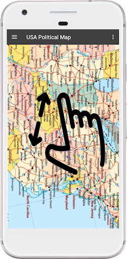
• A offline Map Collection of The United States of America (USA).
• America political map Explore all 50 US states on the US map.
• north america political map with countries and capitals
us political map contains information about all 50 US states, capitals, the state map and a wiki links to know more about the state.
You can learn:
• US river map
• US State map with name
• US State flag
• US State map with capital
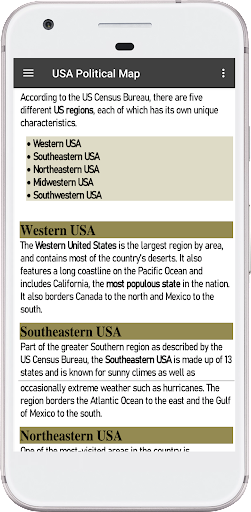
• western us political map with cities
• Southeastern us political map
• Northeastern us political map
• Midwestern us political map
• Southwestern us political map
Version Information
- Version
- -
- Downloads
- 1K+
- Updated on
- -
- Released
- Aug 9, 2022
- Requires
- Android Varies with device
Statistics
Google Play Rating History
Rating Distribution
Downloads Over Time
USA Political Map has been downloaded times. Over the past 30 days, it averaged downloads per day.
Shaded area shows 30-day prediction based on historical trends
Historical data collection started recently. More data points will be available over time.
USA Political Map users say on Google Play
 Roald Van Leersum
Good App
ApkTrusted Ratings & Reviews
More from AAB Store
See more apps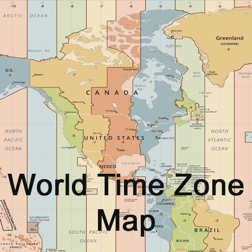


Scan this QR code to download

Forwarding you to the page at Google Play market in seconds...
Open Google Play market now