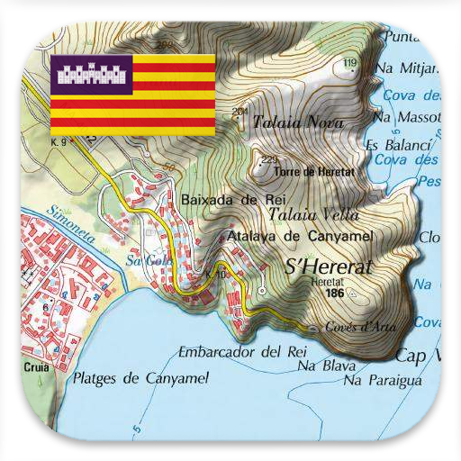
Mallorca Topo Maps v7.8.4
ATLOGIS Geoinformatics GmbH & Co. KG


About this app
The Mallorca Topo Maps app solves the problem of navigating the island of Mallorca with detailed topographic maps, making it ideal for hikers, cyclists, and tourists who want to explore the island's terrain. Given its specific focus on Mallorca, it compares favorably to more general Maps And Navigation apps by providing detailed, high-scale maps that are tailored to the island's unique geography. However, the lack of user ratings and limited download data make it challenging to assess its overall quality and user satisfaction. The app's offline capability and GPS navigation features are significant advantages, but the presence of ads may detract from the user experience.
Pros
- The app's detailed topographic maps at a scale of 1:25,000 provide users with a high level of accuracy and detail, making it easier to navigate Mallorca's terrain.
- The GPS navigation feature allows users to track their location and movements in real-time, even without internet connectivity, which is a significant advantage for outdoor enthusiasts.
- The app's developer, ATLOGIS Geoinformatics GmbH & Co. KG, has a professional website and provides a contact email, indicating a level of transparency and support.
- The app's offline capability makes it accessible in areas with limited or no internet connectivity, which is a significant advantage for users who plan to venture into remote areas of the island.
- The in-app purchases offer users the option to access additional features or maps, providing a flexible pricing model that caters to different user needs.
Cons
- The app's lack of user ratings and limited download data make it challenging to assess its overall quality and user satisfaction, which may deter some potential users.
- The presence of ads may detract from the user experience, particularly if they are intrusive or frequent, which could be a concern for users who prefer ad-free apps.
- The app's monetization model, which includes in-app purchases, may lead to a fragmented user experience, with some features or maps only available to users who are willing to pay extra.
- The app's compatibility with devices running Android 7.0 or later may limit its accessibility for users with older devices, which could be a concern for users who are unable or unwilling to upgrade their devices.
Best for: The ideal user for the Mallorca Topo Maps app is an outdoor enthusiast, such as a hiker, cyclist, or tourist, who is planning to visit the island of Mallorca and needs a detailed and accurate map to navigate its terrain, and has a device running Android 7.0 or later, with a moderate level of technical skill and a willingness to pay for additional features or maps if necessary.
Developer Description
Topographic Maps of Mallorca. Scale 1:25.000. GPS Navigation.
Easy to use Outdoor/Offline GPS navigation app with access to the best topographic maps and aerial images for Mallorca.
++ For offline use PRO features needed ! ++
Turn your Andoid Phone/Tablet into an outdoor GPS for trips into the backcountry WITHOUT CELL COVERAGE. This app gives you similar mapping options as you might know from Garmin or Magellan GPS handhelds.
Included FREE map layers:
• Mallorca Topo Map: Mapa Topográfico Nacional 1:50.000 & 1:25.000 (IGN MTN25 & MTN50)
• Mallorca Base Map: IGN Base Topográfica Nacional 1:25.000 (BTN25 & BCN25)
• Mallorca Imagery: High resolution aerial imagery. Plan Nacional de Ortofotografía Aérea (PNOA)
• Land Register Map: Cartografía Catastral
• OpenStreetMaps : These crowdsourced maps are a very useful addition to other map layers. Contains many unique features.
• OpenCycleMaps: These maps are ideal to plan bicycle trips
• ESRI Topographic
• ESRI Aerial Images
• ESRI Street Map
• Google Road Map (online access only)
• Google Satellite Images (online access only)
• Google Terrain Map (online access only)
• Bing Road Map (online access only)
• Bing Satellite Images (online access only)
• Earth At Night
• Hillshading overlay
Main features for outdoor-navigation:
• Create and edit Waypoints
• GoTo-Waypoint-Navigation
• Track Recording (with speed, elevation and accuracy profile)
• Tripmaster with fields for odometer, average speed, bearing, elevation, etc.
• GPX/KML/KMZ Export
• Search (placenames, POIs, streets)
• Customizable datafields in Map View and Tripmaster (e.g. Speed, Distance, Compass, ...)
• Share Waypoints, Tracks or Routes (via eMail, Whatsapp, Dropbox, Facebook, ..)
• Display coordinates in Lat/Lon, UTM or MGRS/USNG (Military Grid/ US National Grid)
• Record & share tracks with statistics & elevation profile
• Rotate map (Track Up & North Up)
• Get Elevation by long click on map
• Track Replay
• and many more ...
Available Pro features: (Pro features available via In App Purchase)
• Offline Use - no cell coverage needed
• Easy+Fast Bulk-download of map tiles for OFFLINE USAGE (not for Google and Bing maps)
• Create and edit Routes
• Route-Navigation (Point-to-Point Navigation)
• GPX/KML/KMZ Import
• unlimited Waypoints & Tracks
• Add other Map Tile-Server
• No Ads
Offline Use:
All viewed map tiles are kept in cache. To cache large areas you need to purchase Pro features.
Use this navigation app for outdoor activities like hiking, biking, camping, climbing, riding, skiing, canoeing, hunting, offroad 4WD tours or search&rescue (SAR).
Add custom waypoints in longitude/latitude, UTM or MGRS/USNG format with WGS84 datum.
Import/Export/Share GPS-Waypoints/Tracks/Routes in GPX or Google Earth KML/KMZ format.
Preload FREE map data for areas without cell service (Pro feature !).
Comments and feature requests to mallorcamaps@atlogis.com
Have a look at our other outdoor navigation apps: https://play.google.com/store/search?q=atlogis
+++ We DO NOT track any user activities or collect any user data ! +++
Privacy
Given that the app does not request any permissions, it appears to be a relatively low-risk app in terms of data collection and privacy concerns. However, users should still be cautious when using the app's GPS navigation feature, as it may still collect location data. To minimize potential risks, users should review the app's terms and conditions and only use the app for its intended purpose.
Tips
To get the most out of the Mallorca Topo Maps app, users should first download the necessary maps for offline use, which will ensure that they have access to the maps even without internet connectivity. Users should also familiarize themselves with the app's GPS navigation feature, which can be used to track their location and movements in real-time. Additionally, users should be aware of the app's in-app purchases and only purchase features or maps that are necessary for their specific needs.
What's New
In-app purchases
$1.99 - $8.49 per item
Version Information
- Version
- 7.8.4
- Downloads
- 50K+
- Updated on
- Sep 8, 2025
- Released
- Jul 15, 2016
- Requires
- Android 7.0
Statistics
Google Play Rating History
Rating Distribution
Downloads Over Time
Mallorca Topo Maps has been downloaded times. Over the past 30 days, it averaged downloads per day.
Shaded area shows 30-day prediction based on historical trends
Historical data collection started recently. More data points will be available over time.
Mallorca Topo Maps users say on Google Play
 A Google user
Brilliant
 Allan Thornton
Lot of local tracks with interesting walking not shown on this app. When I used it the first few days the GPS function was not brilliant, the record function also switched itself off for no apparent reason after about 3 hours into a 5.5 hour walk. That aside it is a good, clear map which can easily be read in conjunction with a compass app. I am of an age where it is second nature to read a map anyway. So drop one star. I am absolutely certain it will improve as time goes by. A good app
ApkTrusted Ratings & Reviews
More from ATLOGIS Geoinformatics GmbH & Co. KG
See more apps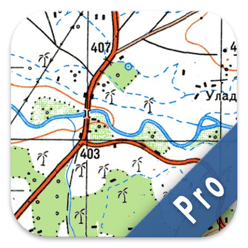
Russian Topo Maps Pro
Paid
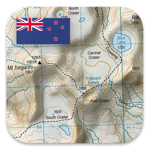
New Zealand Topo Maps
Free
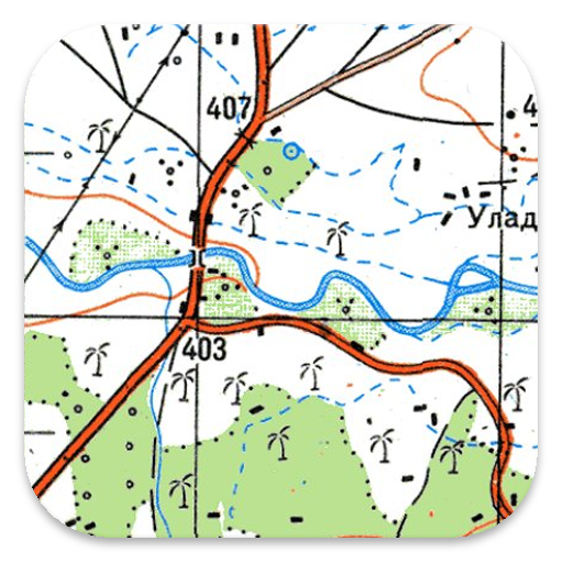
Russian Topo Maps
Free

US Topo Maps
Free
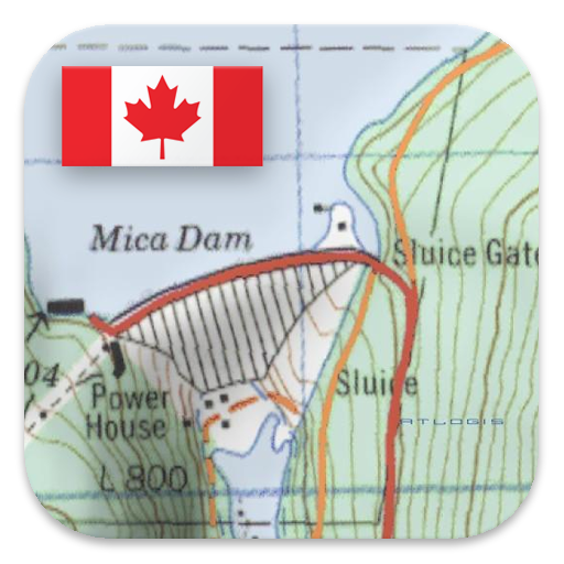
Canada Topo Maps
Free
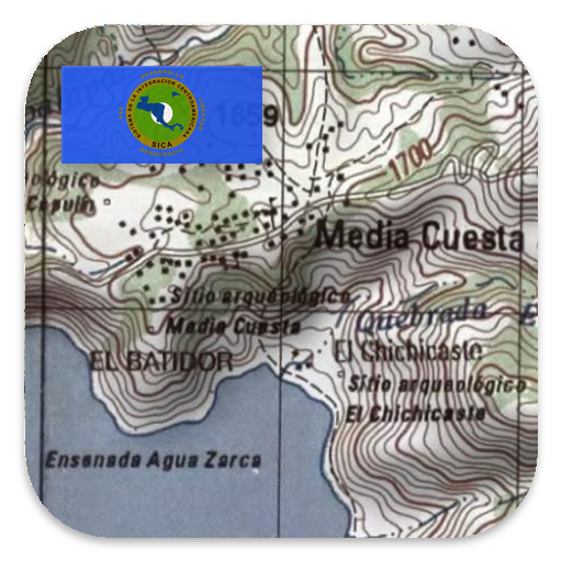
Latin America Topo Maps
Free
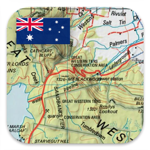
Australia Topo Maps
Free
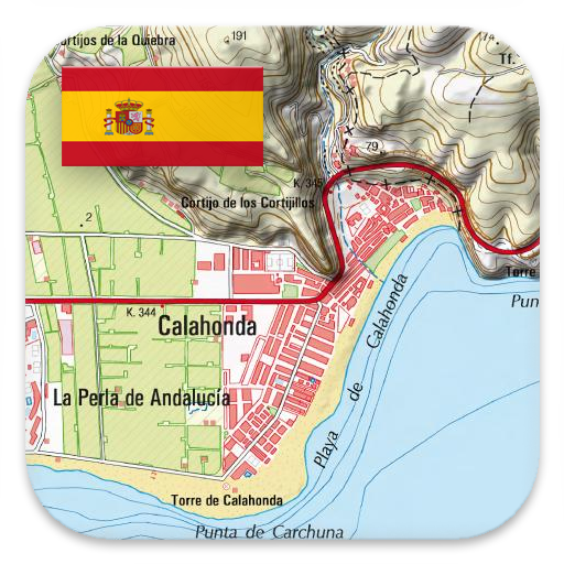
Spain Topo Maps
Free

Norway Topo Maps
Free
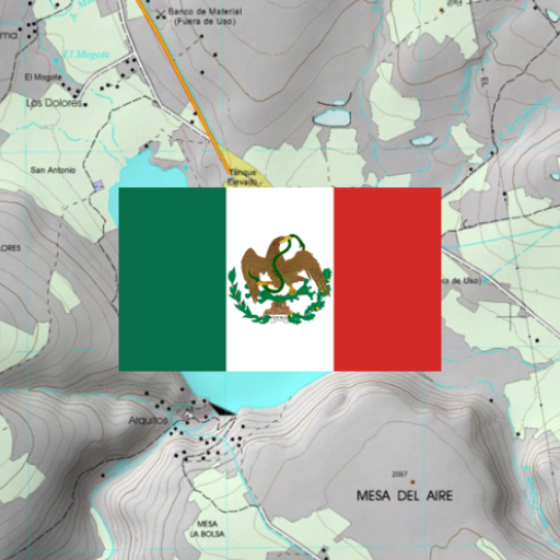
Mexico Topo Maps
Free
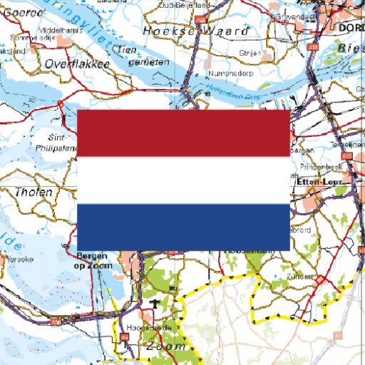
Netherland Topo Maps
Free

South Africa Topo Maps
Free
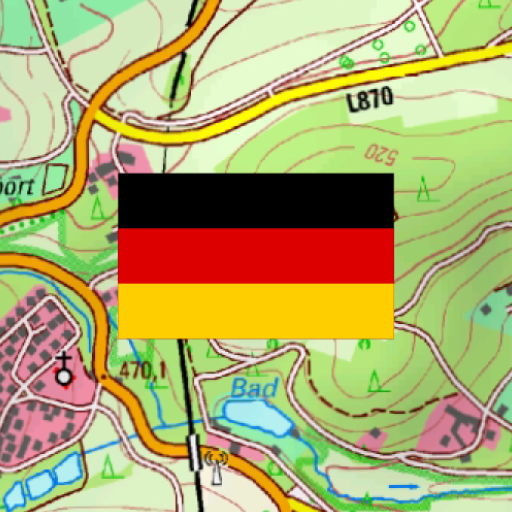
German Topo Maps
Free
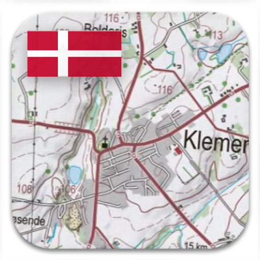
Denmark Topo Maps
Free
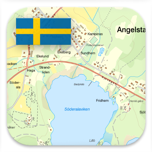
Sweden Topo Maps
Free
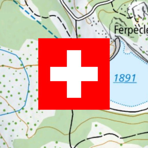
Swiss Maps
Free
Scan this QR code to download

Forwarding you to the page at Google Play market in seconds...
Open Google Play market now