
South Africa Topo Maps v7.8.5
ATLOGIS Geoinformatics GmbH & Co. KG


About this app
Developer Description
Offroad & Outdoor Navigation. 50k topographical maps and aerial images for SA
The NGI (South Africa's national mapping organisation) 1:50.000 topographical maps show significantly more tracks, pathes and other features than OpenStreetMaps (the map data most other navigation apps use) or maps from other commercial map providers.
The 1:50 000 topographical maps are the largest maps providing full coverage of South Africa. The series consists of a total of 1 913 sheets
Add easily maps from other sources (GeoPDF, GeoTiff, Online Map Services like WMS, ...)
Available base map layers for South Africa:
• South Africa Topo Maps: These are the NGI 1:2.000.000, 1:250.000 and 1:50.000 topographical maps.
• South Africa Aerial Imagery with a ground resolution of 50cm/Pixel
Worldwide basemap layers:
• OpenStreetMaps (5 different map layouts), also downloadable in space saving vectorformat
• Google Maps (Satellite images, Road- and Terrain-Map)
• Bing Maps (Satellite images, Road-Map)
• ESRI Maps (Satellite images, Road- and Terrain-Map)
• Waze Roads
• Earth At Night
Configure a basemap layer as an overlay and utilize a transparency fader to seamlessly compare maps with each other.
Add maps from other sources:
• Import raster maps in GeoPDF, GeoTiff, MBTiles or Ozi (Oziexplorer OZF2 & OZF3)
• Add web mapping services as WMS or WMTS/Tileserver
• Import OpenStreetMaps in Vectorformat, eg complete USA for just some GBs
Available worldwide overlays:
• Hillshading overlay
• 20m Contourlines
• OpenSeaMap
There is no perfect map. Toggle between the different map layers or use the compare maps feature to find the most interesting route. Especially the South African Topo Maps contain many small pathes or other features that are missing on modern maps.
Main features for outdoor-navigation:
• Download map data for OFFLINE USAGE
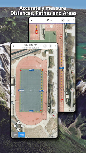
• Measure pathes and aereas
• Create and edit Waypoints
• GoTo-Waypoint-Navigation
• Create and edit Routes
• Route-Navigation (Point-to-Point Navigation)
• Track Recording (with speed, elevation and accuracy profile)
• Tripmaster with fields for odometer, average speed, bearing, elevation, etc.
• GPX/KML/KMZ Import/Export
• Search (placenames, POIs, streets)
• Get elevation and distance
• Customizable datafields in Map View and Tripmaster (e.g. Speed, Distance, Compass, ...)
• Share Waypoints, Tracks or Routes (via eMail, Dropbox, WhatsApp, ..)
• Use coordinates in WGS84, UTM or MGRS/USNG (Military Grid/ US National Grid), What3Words• Track Replay
• and many more ...
Use this navigation app for outdoor activities like hiking, biking, camping, climbing, riding, skiing, canoeing, hunting, offroad 4WD tours or search&rescue (SAR).
Add custom waypoints in longitude/latitude, UTM or MGRS/USNG format with WGS84 datum.
Import/Export/Share GPS-Waypoints/Tracks/Routes in GPX or Google Earth KML/KMZ format.
NGI topographic maps are enhanced with Atlogis® hillshading and placenames.
Please send questions, comments and feature requests to support@atlogis.com
What's New
In-app purchases
$10.99 per item
Version Information
- Version
- 7.8.5
- Downloads
- 10K+
- Updated on
- Nov 10, 2025
- Released
- Jun 5, 2024
- Requires
- Android 7.0
Statistics
Google Play Rating History
Rating Distribution
Downloads Over Time
South Africa Topo Maps has been downloaded times. Over the past 30 days, it averaged downloads per day.
Shaded area shows 30-day prediction based on historical trends
Historical data collection started recently. More data points will be available over time.
South Africa Topo Maps users say on Google Play
 Sydney Daniel
Just installed the app and mightily impressed. I love all the old info still available on the topo maps. The satellite imagery is good as well. Need to trial it in the mountains next time.
 Dave Watson
Brilliant on line and off line map toolset. Pity they don't publish reasons to upgrade to Pro version before you have to pay to see
 Alan Short
Some useful features but a bunch of annoying flaws. I'll use it but I won't renew subscription. (1) Needs a paid vs free comparison table (ALL offline features are paid, unlike many competing apps). (2) I couldn't change download destination to SD card (3) "large" (20+ MB) downloads freeze without warning. (4) Can only download one layer at a time (5) A bug, where initially all downloads were only OSM. After a reboot I could download my preferred layers. (6) Position acquisition is VERY slow.
 Khisto Sifiso
Show map
 Pierre Visser
Installed the app, paid for pro version, when open the app and start a route and click on any of the 3 information Tabs at the bottom of the app the app stops.. not very cool for a paid/Pro version.
ApkTrusted Ratings & Reviews
More from ATLOGIS Geoinformatics GmbH & Co. KG
See more apps
Russian Topo Maps Pro
Paid
New Zealand Topo Maps
Free
Russian Topo Maps
Free

US Topo Maps
Free
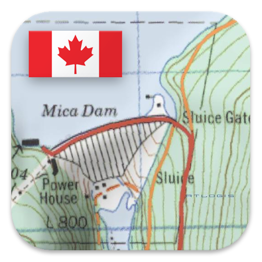
Canada Topo Maps
Free
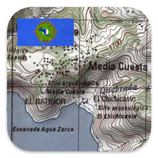
Latin America Topo Maps
Free
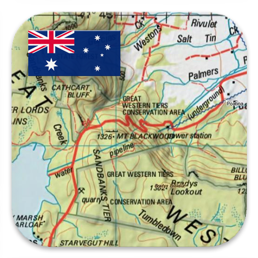
Australia Topo Maps
Free
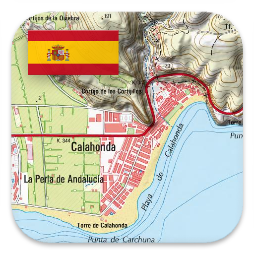
Spain Topo Maps
Free

Norway Topo Maps
Free
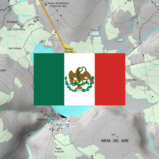
Mexico Topo Maps
Free
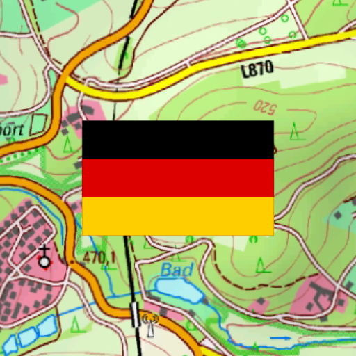
German Topo Maps
Free
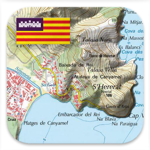
Mallorca Topo Maps
Free
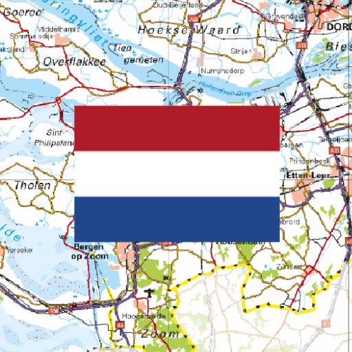
Netherland Topo Maps
Free
Denmark Topo Maps
Free
Sweden Topo Maps
Free
Swiss Maps
Free
Similar Apps

Regrid Property App
Free

Trails Offroad: Offline Maps
Free

Placer County Sheriff
Free

GPS Essentials
Free
Trailforks
Free

Trucker Path: Truck GPS & Fuel
Free

Sygic GPS Truck & Caravan
Free

BaseMap: Hunting Maps and GPS
Free

HuntStand: GPS Maps & Tools
Free

Guru Maps Pro & GPS Tracker
Paid

Gaggle Paragliding, Ultralight
Free

onX Offroad: Trail Maps & GPS
Free

MarineRadar: Vessel Tracker
Free

swisstopo
Free

Gaia GPS: Offline Trail Maps
Free

TomTom GO Expert: Truck GPS
Free
Scan this QR code to download

Forwarding you to the page at Google Play market in seconds...
Open Google Play market now