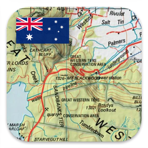
Australia Topo Maps v7.8.5
ATLOGIS Geoinformatics GmbH & Co. KG


About this app
Developer Description
Outdoor GPS Navigation app with maps and aerial imagery for Australia.
++ For offline use PRO features needed ! ++
Turn your Andoid Phone/Tablet into an outdoor GPS for trips into the backcountry WITHOUT CELL COVERAGE. This app gives you similar mapping options as you might know from Garmin or Magellan GPS handhelds.
Included FREE map layers:
• NATMAP 1:250.000 Topo Maps, latest edition, enriched with hillshading and additional placenames !
• Getlost Maps: topographic and touring maps for complete Australia in 1:75.000 and 1:250.000, Victoria & East NSW in 1:25.000
• Australia Base Map: Seamless national dataset for whole of Australia. Very detailed !
• Queensland Topo Maps: HiRes topographic maps
• New South Wales Maps: HiRes topographic maps (scanned raster & digital) + HiRes Imagery
• South Australia: HiRes topographic maps & Street Maps
• Tasmania Maps: HiRes topographic maps + HiRes Imagery
• Northern Territory Atlas
• OpenStreetMaps : These crowdsourced maps are a very useful addition to other map layers. Contains many unique features.
• OpenCycleMaps: These maps are ideal to plan bicycle trips
• Geological Map (for biologists, geologists, miners, ...)
• ESRI Topographic
• ESRI Aerial Images
• ESRI Street Map
• Google Road Map (online access only)
• Google Satellite Images (online access only)
• Google Terrain Map (online access only)
• Bing Road Map (online access only)
• Bing Satellite Images (online access only)
• Earth At Night
• Hillshading and contourlines (20m) overlay (worldwide)
• Transport/Infrastructure overlay
Premium Map layers:
• Victoria 1:25.000
For only 78,99 $ (AUD) you get unlimited access to all 25k Vic topo map sheets (865 maps !) - stitched together to a seamless mosaik (complete coverage) ! Easy to download and offline use ! Single GeoPDF map sheets cost 8,5$ at Vic DELWP office !
• Western Australia 1:25.000 - 1:100.000
For only 154,99 $ (AUD) you get unlimited access to all available 25k,50k and 100k WA topo map sheets (3044 maps!) - stitched together to a seamless mosaik ! Easy to download and offline use ! Single GeoPDF map sheets cost 12,6$ at WA Landgate office !
Main features for outdoor-navigation:
• Create and edit Waypoints
• GoTo-Waypoint-Navigation
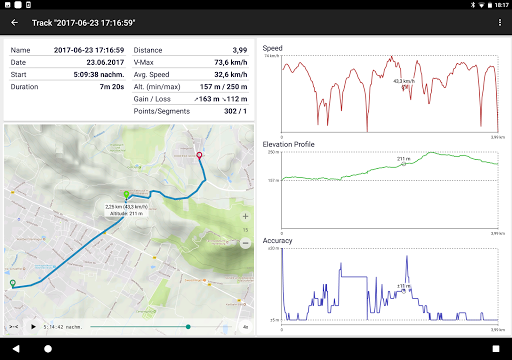
• Track Recording (with speed, elevation and accuracy profile)
• Tripmaster with fields for odometer, average speed, bearing, elevation, etc.
• GPX/KML/KMZ Export
• Search (placenames, POIs, streets)
• Customizable datafields in Map View and Tripmaster (e.g. Speed, Distance, Compass, ...)
• Share Waypoints, Tracks or Routes (via eMail, Whatsapp, Dropbox, Facebook, ..)
• Display coordinates in Lat/Lon, UTM or MGRS/USNG (Military Grid/ US National Grid)
• Record & share tracks with statistics & elevation profile
• Rotate map (Track Up & North Up)
• Get Elevation by long click on map
• Track Replay
• and many more ...
Available Pro features: (Pro features available via In App Purchase)
• Offline Use - no cell coverage needed. No Roaming fees !
• Easy+Fast Bulk-download of map tiles for OFFLINE USAGE (not for Google and Bing maps)
• Create and edit Routes
• Route-Navigation (Point-to-Point Navigation)
• GPX/KML/KMZ Import
• unlimited Waypoints & Tracks
• Add other Map Tile-Server
• No Ads
Offline Use:
All viewed map tiles are kept in cache. To cache large areas you need to purchase Pro features.
Use this navigation app for outdoor activities like hiking, biking, camping, climbing, riding, skiing, canoeing, hunting, offroad 4WD tours or search&rescue (SAR).
Add custom waypoints in longitude/latitude, UTM or MGRS/USNG format with WGS84 datum.
Import/Export/Share GPS-Waypoints/Tracks/Routes in GPX or Google Earth KML/KMZ format.
Preload FREE map data for areas without cell service (Pro feature !).
Comments and feature requests to info@atlogis.com
+++ We DO NOT track any user activities or collect any user data ! +++
What's New
In-app purchases
$12.99 - $89.99 per item
Version Information
- Version
- 7.8.5
- Downloads
- 100K+
- Updated on
- Sep 22, 2025
- Released
- Apr 20, 2016
- Requires
- Android 7.0
Statistics
Google Play Rating History
Rating Distribution
Downloads Over Time
Australia Topo Maps has been downloaded times. Over the past 30 days, it averaged downloads per day.
Shaded area shows 30-day prediction based on historical trends
Historical data collection started recently. More data points will be available over time.
Australia Topo Maps - Google Play Rankings
Top Rankings
| Rank | Country | Category | List | Change |
|---|---|---|---|---|
| — |
Ranking History in
No ranking data available yet. Rankings are updated daily.
#28 in Top Grossing Maps And Navigation in Australia


Australia Topo Maps users say on Google Play
 Birding Birdo
This is the best Android topo mapping app. Excellent for exploring outback terrain. ESRI aerial is just brilliant. Cache those special spots to use when out of phone range Every update brings new enjoyment. I would like to see frequent updated high resolution satellite imagery with date and historical images available.
 Adam Reddust
good enough to walk a circle and be able to get roughly down to 1mtr.
 Richard Green
Pro version - seems to use tiles not using an vector maps (which would make sense for offline). OSM throttled and the app does cope at all when this happens - the off line downloader flow assumes its going to happen quite quickly. Other maps seem better.
 Glenn Hobba
excellent app! must have for any 4x4 trip! edit 2 stars, only maps that i liked are no longer cacheable and cant be deleted, also the app crashes trying to cache any other maps, so now effectively useless...
 Ben Jones
was great for offline maps, now you can't cache ESRI Aerial for some stupid license so it is utterly useless now. Very disappointed, as I always recommend this for the last 10 years.
ApkTrusted Ratings & Reviews
More from ATLOGIS Geoinformatics GmbH & Co. KG
See more apps
Russian Topo Maps Pro
Paid
New Zealand Topo Maps
Free
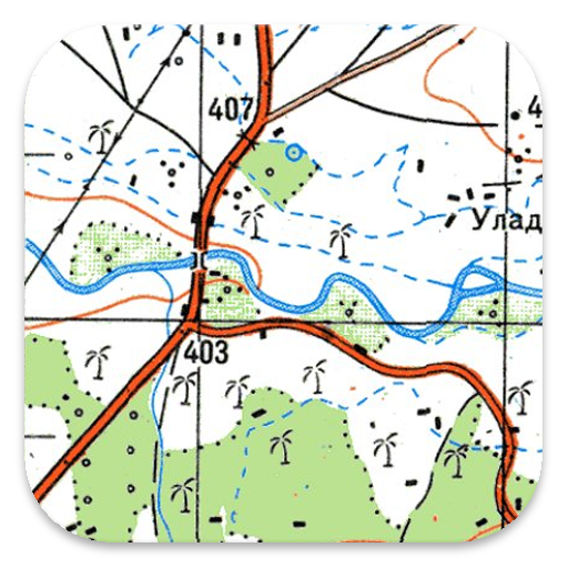
Russian Topo Maps
Free

US Topo Maps
Free
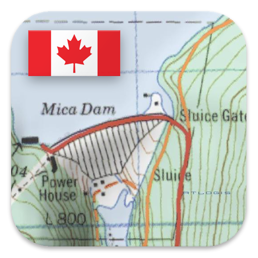
Canada Topo Maps
Free
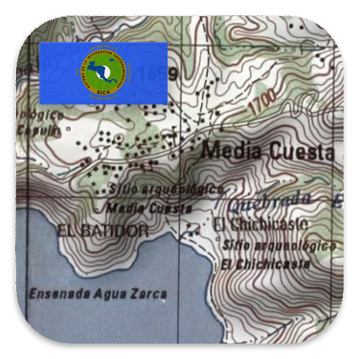
Latin America Topo Maps
Free
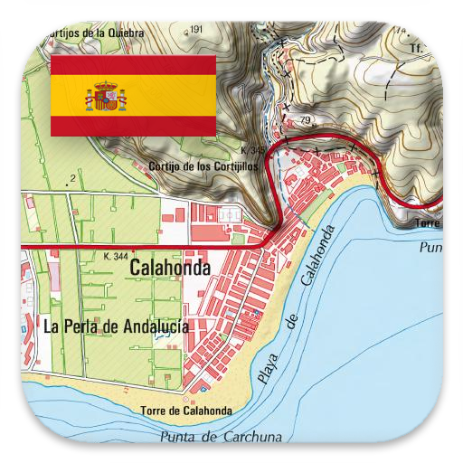
Spain Topo Maps
Free

Norway Topo Maps
Free
Mexico Topo Maps
Free
Netherland Topo Maps
Free

South Africa Topo Maps
Free
Mallorca Topo Maps
Free
German Topo Maps
Free
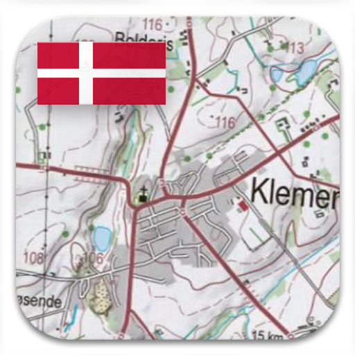
Denmark Topo Maps
Free
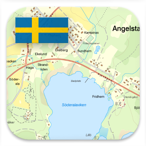
Sweden Topo Maps
Free
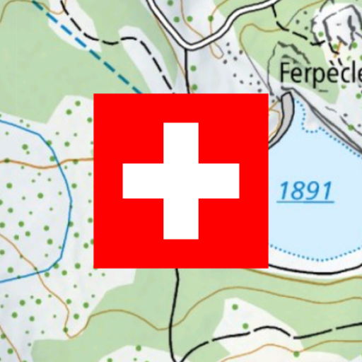
Swiss Maps
Free
Scan this QR code to download

Forwarding you to the page at Google Play market in seconds...
Open Google Play market now