German Topo Maps v7.8.7
ATLOGIS Geoinformatics GmbH & Co. KG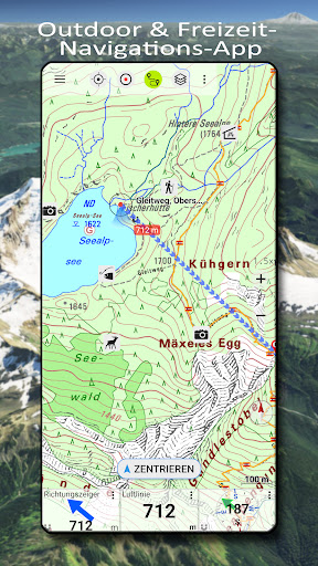


About this app
Developer Description
Outdoor GPS Navigation with the best maps and aerial imagery for Germany
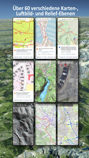
Over 60 different map types for Germany. Plus 13 map layers with worldwide coverage and numerous overlays, such as hiking and cycling trails.
In addition to worldwide OpenStreetMap (OSM) maps in various styles, you have access to detailed official maps from the Federal Office of Cartography (BKG) and the respective state surveying offices.
Resolution aerial photographs, official topographic maps (DTK series 1:10,000 - 1:100,000), and property maps (ALKIS) are available for all federal states (except Baden-Württemberg).
There are also numerous optional overlays, such as hiking and cycling trails, bodies of water, contour lines, and hillshading.
Maps and aerial photographs can be downloaded free of charge for specific regions, so you don't need an internet connection while on the go.
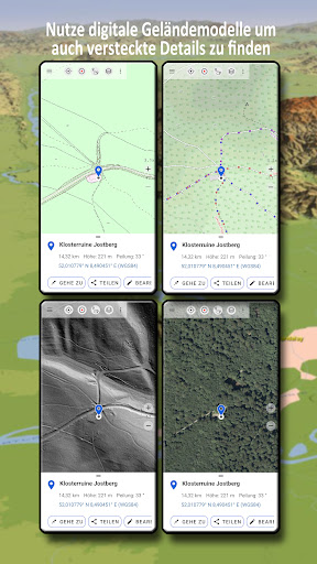
Digital terrain models (DTMs) are available for many German states, allowing you to identify the finest structures in the ground (e.g., former border fences, foundation walls, or paths not shown on other maps).
There are also map layers from other commercial providers such as Google, ESRI, or Bing (these are only available online).
All maps can be applied as overlays and compared using a transparency slider.
There is no such thing as a perfect map - so with this app, you can decide which map is most suitable for your intended use and region.
The most important features for outdoor navigation:
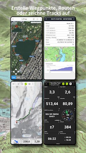
• Creating and editing waypoints
• GoTo waypoint navigation
• Measuring distances and areas
• Tripmaster with data fields for daily mileage, average speed, bearing, elevation, etc.
• Search (place names, streets)
• Customizable data fields in map view (e.g., arrow, distance, compass, etc.)
• Sharing waypoints, tracks, or routes (via email, WhatsApp, Dropbox, Facebook, etc.)
• Using coordinates in WGS84, UTM, or MGRS
• Recording and sharing tracks with statistics and elevation profiles
• Displaying elevation and distance by long-clicking on the map
• ...
Additional Pro features:
• Offline use without a data connection
• Easy downloading of map data for offline use (except Google & Bing)
• Creating and editing routes
• Route navigation (point-to-point navigation)
• GPX/KML/KMZ Import/Export
• Unlimited waypoints & tracks
• Add new tile servers, WMS map services, and MBTiles
• No advertising
Map layers for all of Germany:
• BKG Basemap.de: This map is based on ATKIS-Basis-DLM data, the best official map data available from BKG Germany.
• TopPlus: This layer also uses ATKIS-Basis-DLM data, but with a slightly different layout. Also available in Europe at a reduced resolution
• Germany Satellite Image 10m/pixel: Medium-resolution satellite images for Germany
• DGM5 Digital Terrain Model 5m/pixel
• Corine Land Use
World Map Layers:
• OpenStreetMaps: These collaboratively created maps are a great complement to official maps and are sometimes even more detailed
• OSM Outdoors: OpenStreetMap data with a focus on hiking trails, hillshading, and contour lines
• OpenCycleMaps: OpenStreetMap data with a focus on cycle and hiking trails
• ESRI Topographic, Aerial & Street
• Google Road, Satellite & Terrain Map (online connection only)
• Bing Road & Satellite Map (online connection only)
• Various overlays such as cycle and hiking trails, hillshading, or bodies of water
Maps of the German federal states:
• Aerial photographs (10-40cm per pixel)
• Digital topographic maps DTK10, DTK25 DTK50 and DTK100
• Digital Terrain Models (DTM)
• Property/Catalog Maps
• Various overlays such as waterways or hiking trails
Please send any questions to support@atlogis.com
What's New
・Neue bundesweite Luftbildkarte
・Korrekturen
In-app purchases
$4.49 - $17.99 per item
Version Information
- Version
- 7.8.7
- Downloads
- 100K+
- Updated on
- Jan 14, 2026
- Released
- Jul 20, 2020
- Requires
- Android 7.0
Statistics
Google Play Rating History
Rating Distribution
Downloads Over Time
German Topo Maps has been downloaded times. Over the past 30 days, it averaged downloads per day.
Shaded area shows 30-day prediction based on historical trends
Historical data collection started recently. More data points will be available over time.
German Topo Maps users say on Google Play
 Raptor
The map rotates extremely strongly around its own axis with every touch. TERRIBLE ! ▶ Okay, thanks a lot for the advice. I change the review to 5 stars.
 Holger Cordes
Good help while out and about. Putty it does not track elevation gain.
 L.s Chauhan Chauhan
Satyam
 Sergey Christozov
This software is a total disappointment. I've purchased pro version. But it just stops recording the tracks randomly and running in parallel FREE trackers are doing fine ! But this is not all - after tracking my 2-hours walking, when I tried to save my track it says "you have to buy pro version" ! Track was lost. After a restart it suddenly remembered that it is already pro version.
ApkTrusted Ratings & Reviews
More from ATLOGIS Geoinformatics GmbH & Co. KG
See more apps
Russian Topo Maps Pro
Paid
New Zealand Topo Maps
Free
Russian Topo Maps
Free

US Topo Maps
Free
Canada Topo Maps
Free
Latin America Topo Maps
Free
Australia Topo Maps
Free
Spain Topo Maps
Free

Norway Topo Maps
Free
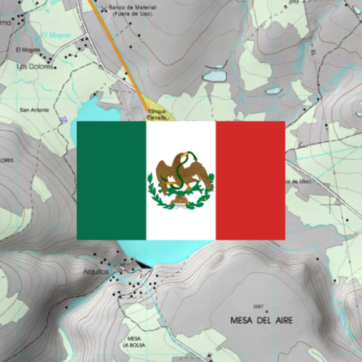
Mexico Topo Maps
Free
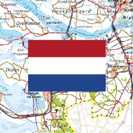
Netherland Topo Maps
Free

South Africa Topo Maps
Free
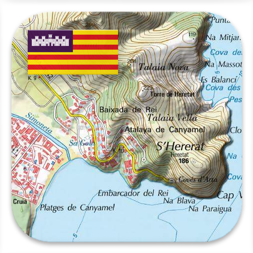
Mallorca Topo Maps
Free
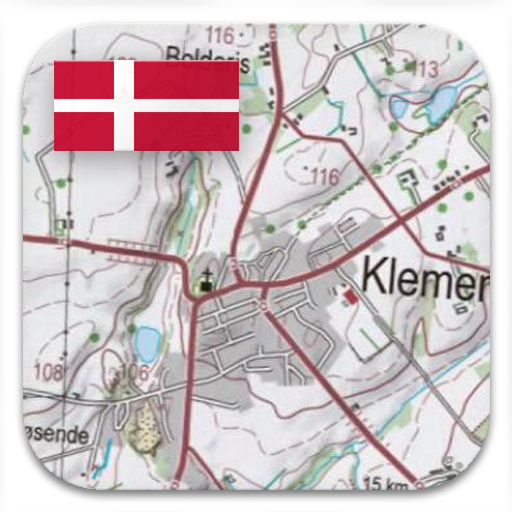
Denmark Topo Maps
Free
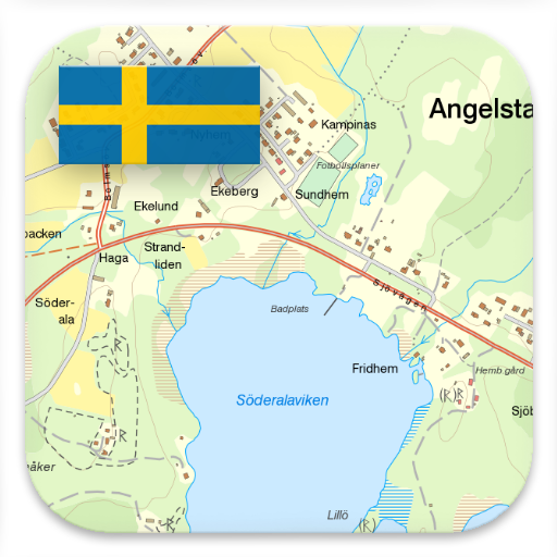
Sweden Topo Maps
Free
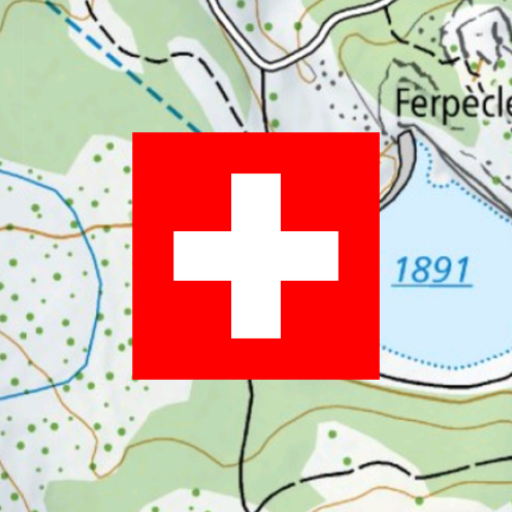
Swiss Maps
Free
Similar Apps

swisstopo
Free

bergfex: Hiking & Tracking
Free

Südtirol Fishing
Free

Mapy.com: Offline hiking maps
Free
Trailforks
Free

Lambus | Travel Planner
Free

calimoto — Motorcycle GPS
Free

Outdooractive. Hike and Ride
Free

Mietz - Apartment Search
Free

HRS: Find and book hotels
Free

Guru Maps Pro & GPS Tracker
Paid

Mapway: Maps & Transit Planner
Free

Campercontact - Camper Van
Free

Magic Earth Navigation & Maps
Free

Campy - Camper Van Europe
Free

FarOut
Free
Scan this QR code to download

Forwarding you to the page at Google Play market in seconds...
Open Google Play market now