Stroomatlas Noordzee v1.8
Surfcheck


About this app
Developer Description
All 91 tide maps from the North Sea, Wadden Sea and Zeeland power atlas
With tide display that indicates which card is currently valid.
You can install this tidal atlas on your phone and tablet. It goes without saying that viewing the map material on the large screen of a tablet is the easiest. However, you can zoom in on all maps so that you can use this app on your phone as a useful reference.
This app is intended as a supplement to our regular Seaweed and "Het Getij" apps with live weather and maritime data, weather maps and expectations for your phone and tablet.
The Seaweed current atlas was built and is maintained by Surfcheck, based on the maps in the HP33 current atlas, under license from the Royal Netherlands Navy, Hydrographic Service ©. All rights reserved.
PLEASE NOTE: Due to the high-resolution map material, this app is almost 150 MB in size, so downloading it is best done via WiFi.
Terms of delivery
We do our utmost to deliver a fantastic and accurate app, but of course we cannot * guarantee * that the software and the data presented therein always work and are 100% correct. You can not derive any rights from this app or the information presented therein. By downloading and using this app you accept these terms and conditions.
What's New
Version Information
- Version
- 1.8
- Downloads
- 1K+
- Updated on
- Aug 18, 2025
- Released
- Jan 9, 2020
- Requires
- Android 5.1
Statistics
Google Play Rating History
Rating Distribution
Downloads Over Time
Stroomatlas Noordzee has been downloaded times. Over the past 30 days, it averaged downloads per day.
Shaded area shows 30-day prediction based on historical trends
Historical data collection started recently. More data points will be available over time.
Stroomatlas Noordzee users say on Google Play
 JH Beekhuis
Werkt aardig goed, maar wat ik mis is info over de kaarten zelf. Een legenda en kaartuitgave informatie ontbreken. Wel is gelukkig het referentie station voor de kaarten aangegeven
 Juri Skuratovski
very uncomfortable UI.
ApkTrusted Ratings & Reviews
More from Surfcheck
See more apps
Zeeweer - Maritieme app
Free

Weer Nu - Weerbericht en Radar
Free
Weather in Holland: the app
Free
Ad Astra: Star Atlas
Free

Tidal Stream Atlas France W.
Paid
Tidal Stream Atlas, Dover
Paid
Tidal Atlas Irish Sea, Bristol
Paid
Tidal stream atlas, English Ch
Paid
The Tides - the Netherlands
Free
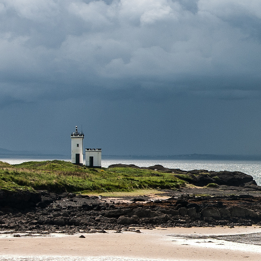
Tidal Stream Atlas, Scotland
Paid
Tidal Stream Atlas, Thames Est
Paid

Topographical charts Holland
Free
Water Map Live - Routes, AIS
Free
Het Weer: de weerapp
Free
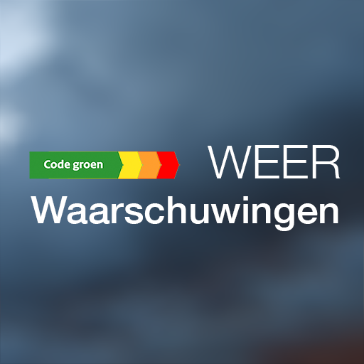
Weerwaarschuwing: Weeralarm NL
Free
Binnenvaartpolitiereglement
Free
Scan this QR code to download

Forwarding you to the page at Google Play market in seconds...
Open Google Play market now