
Live Satellite View, GPS Map vVARY
Piontech Studio


About this app
Developer Description
Live Satellite View, GPS Map helps you to watch live video and geotag your photo
AMAZING FEATURES OF LIVE SATELLITE VIEW, GPS MAP CAMERA
📍 Location & timestamp: Easily add GPS coordinates and date/time to your photos with GPS map camera, and manually add custom information to your videos with flexible stamping options. The app allows you to embed GPS photo location and geotag data, making it easy to organize and retrieve your media.
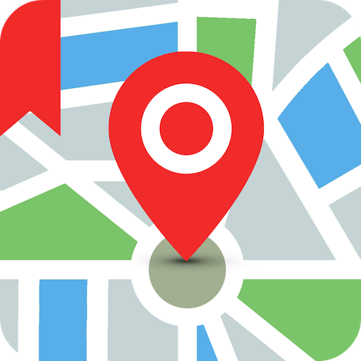
🗺️ Geo-tagged photos: The Live Satellite View, GPS Map Camera app also works as a gps camera, providing you with a powerful gps camera gps map tool to capture and tag your adventures.
📌 Live location tracking: Use the app to record gps satellite maps live earth location data on your photos, including longitude, latitude, address, date, and time.
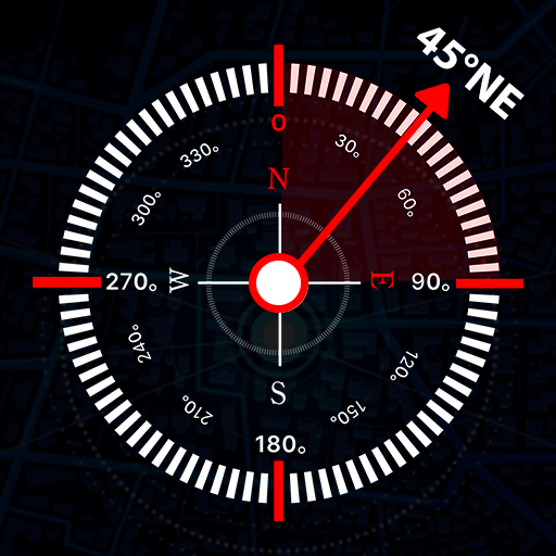
⏲ Compass mode: View the compass within gps map camera to easily determine directions.
🗓 Date & time options: Choose from various date and time formats to stamp on your photos.
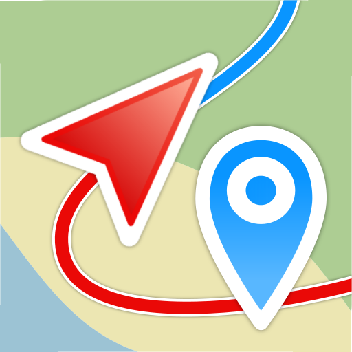
📹 Watch live videos: Browse a list of live cam satellite feeds through live satellite view maps, and explore live streets with gps map live earth camera and real-time tracking features.
📱 Grid mode: Freely adjust your photo layout with Grid mode in the gps map camera app.
✨ Multi-language support: The Live Satellite View, GPS Map Camera app supports multiple languages for user convenience.
🔽 The Live Satellite View, GPS Map Camera app helps you easily and accurately explore the latest live satellite view feeds from around the globe. Whether you want to explore earth map satellite imagery, track your adventures with gps camera gps map, or capture moments with gps photo location data, this app enhances every journey. Download now and experience the amazing features of Live Satellite View, GPS Map Camera to capture every moment. The app is an essential tool for travel enthusiasts, adventurers, explorers, and researchers who love using gps satellite view 3d map and live satellite view capabilities.
In-app purchases
$0.49 - $13.99 per item
Version Information
- Version
- -
- Downloads
- 100K+
- Updated on
- -
- Released
- Jan 17, 2026
- Requires
- Android Varies with device
Statistics
Google Play Rating History
Rating Distribution
Downloads Over Time
Live Satellite View, GPS Map has been downloaded times. Over the past 30 days, it averaged downloads per day.
Shaded area shows 30-day prediction based on historical trends
Historical data collection started recently. More data points will be available over time.
ApkTrusted Ratings & Reviews
More from Piontech Studio
See more apps
Flash Alert - Flashlight App
Free

Wifi Password Show: Wifi Speed
Free

Mobile Number Locator
Free

Magnifier: Magnifying Glass
Free

Wifi Hotspot - Mobile Hotspot
Free

Mobile Number Locator
Free

LED Flashlight - Flash Alert
Free

Game Mode, Game Launcher
Free

Magnifier: Magnifying glass
Free

Metal Detector, Metal Finder
Free

Ad Detector & Ad Blocker
Free

Spin The Wheel - Wheel Spinner
Free

Tattoo Design - Tattoo Maker
Free

AI Voice Lock Screen
Free
Similar Apps

Earth Map App - Live Cam View
Paid

GPS Navigation Route Planner
Paid

Guru Maps Pro & GPS Tracker
Paid
Qibla Direction- GPS Compass
Paid

Live Earth Map, GPS Navigation
Free

Earth 3D Map-StreetView Camera
Free

swisstopo
Free

Magic Earth Navigation & Maps
Free

SPYPOINT
Free

HERE WeGo BETA
Free

My Location - Track GPS & Maps
Free
Save Location GPS
Free

HiiKER: The Offline Hiking app
Free

GPS Essentials
Free
Geo Tracker - GPS tracker
Free

SunCalc org
Free
Scan this QR code to download

Forwarding you to the page at Google Play market in seconds...
Open Google Play market now