
Live Satellite View-Earth Maps vVARY
Techlab studio


About this app
Developer Description
Satellite map shows you live street video, view earth map and camera 360 images.
Satellite Map - Gps satellite view 3d map app allows you to explore the world anywhere, anytime easier than ever. Whether you're checking out places you've been to or discovering new ones, you can get closer to the places you want to go with real-time satellite map views. In addition, the application also has accompanying utility features such as: checking air quality, language translation, time zone lookup, currency exchange rates, etc. This is the best Satellite Map - Gps satellite view 3d map application to satisfy your needs. Curious, loves to explore the world!
UNLIMITED FEATURES OF SATELLITE MAP - GPS LOCATION
1. 📹See the world through live street view and 360 camera photos
Whether it's the beautiful island of Bali or the most magnificent city of Paris, you can completely explore those places through comprehensive 360 camera photos and live street views.
2. 🌉View photos of famous places around the world
Explore and refer to information about famous landmarks in the world. Making travel plans easy when researching in advance helps save time and enhance the travel experience.
3. 🌎Gps satellite view 3d map
Experience the world map viewing feature with default views, satellite view, terrain, and night mode. Easily search and locate.
4. 🛂Check air quality
Stay safe with real-time air quality updates at your destination. Adjust your plan for a healthier trip.
5. 💬Language interpretation
The app works as a personal translator with voice support. Communicate easily, even if you don't know the local language.
6. 💱Look up currency exchange rates
Convert currencies between countries instantly. Simplify transactions and avoid overcharges on trips.
7. ⏳Measure distance/speed
Measure speed and distance to get an accurate timeline for your journey.
8. 🕰Look up world time zones
Stay up to date with global time zones.
9. 🧭Compass
Precise navigation, even in remote areas without signal.
✅With the above features, the Satellite Map - Gps satellite view 3d map application brings great benefits to those who are passionate about exploring, traveling, and experiencing.
You can prepare in advance for each trip with the feature to explore famous places around the world, view panoramic photos from 360 camera photos, check air quality in advance, look up currency exchange rates or check time zone before traveling with family and loved ones in the Satellite Map - Gps satellite view 3d map app Want to see scenes of every street in the world? Explore live street view. 2D/3D world map view helps you locate your location at all times on the world map.
⬇⬇Download the Satellite Map - Gps satellite view 3d map app now and experience exploring the world anywhere, from every corner with street view, satellite map
In-app purchases
$2.49 - $13.99 per item
Version Information
- Version
- -
- Downloads
- 10M+
- Updated on
- -
- Released
- Jan 18, 2026
- Requires
- Android Varies with device
Statistics
Google Play Rating History
Rating Distribution
Downloads Over Time
Live Satellite View-Earth Maps has been downloaded times. Over the past 30 days, it averaged downloads per day.
Shaded area shows 30-day prediction based on historical trends
Historical data collection started recently. More data points will be available over time.
ApkTrusted Ratings & Reviews
More from Techlab studio
See more apps


Similar Apps

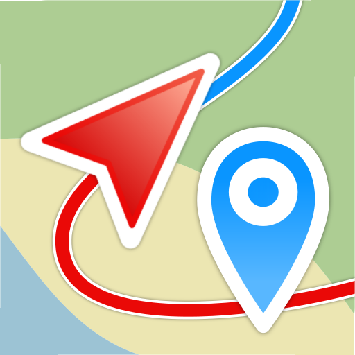
Magic Earth Navigation & Maps
Free

Earth 3D Map-StreetView Camera
Free
Save Location GPS
Free

MAPS.ME: Offline maps GPS Nav
Free

OsmAnd — Maps & GPS Offline
Free

Zoom Earth - Weather Forecast
Free

MarineTraffic - Ship Tracking
Free

HERE WeGo: Maps & Navigation
Free
Geo Tracker - GPS tracker
Free

Live Earth Map - World Map 3D
Free
Sygic GPS Navigation & Maps
Free
Be Closer: Family location
Free

PeakVisor - 3D Maps & Peaks ID
Free

Guru Maps Pro & GPS Tracker
Paid

GPS Navigation Route Planner
Paid

Earth Map App - Live Cam View
Paid
Scan this QR code to download

Forwarding you to the page at Google Play market in seconds...
Open Google Play market now