
Compass & Altimeter v3.9.1
PixelProse SARL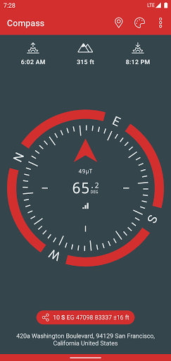


About this app
Developer Description
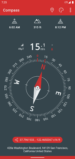
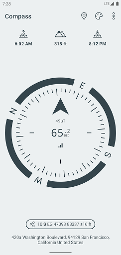
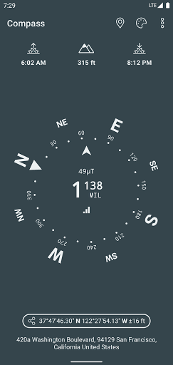
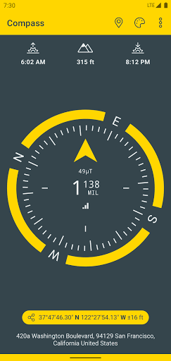
A Compass, with geographic north, true altitude, address, sunset & sunrise times
• Works perfectly offline and without network access
• Geographic north using magnetic declination
• True altitude above mean sea level (AMSL)
• Sunrise & Sunset times
• Azimut angles in deg, grad, mrad, gon
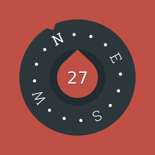
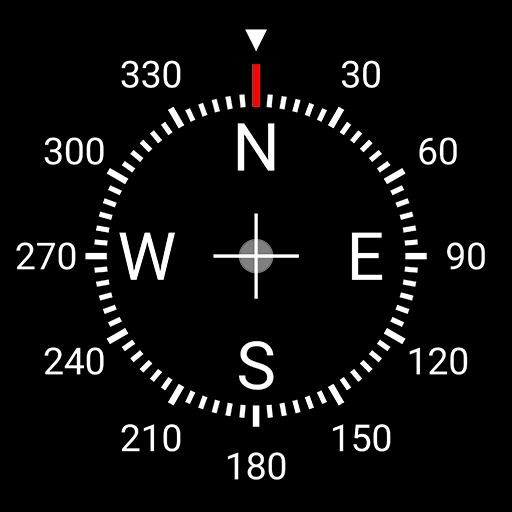
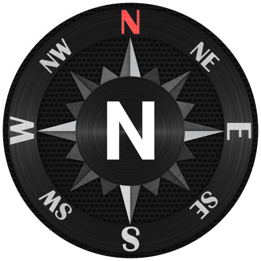
• Various dials and color themes (including high contrast)
• Angle measurement (with dials including measuring capabilities)
• Bubble Level functionnality (available in iPhone dial)
• Use EGM96 as the geoid reference for computing altitude
• Latitude & Longitude in MGRS, UTM coordinate formats
• Latitude & Longitude in DD, DMM or DMS format
• British National Grid (OSGB86) coordinate system
• SwissGrid (CH1903 / LV95 / MN95)
• Magnetic field strength to detect potential perturbations
• Sensor accuracy
• Address of your current location (requires data connectivity)
Compass better works outside where magnetic perturbations are low. Magnetic closure cell phone cases may also disrupt the accuracy of the compass.
EGM96 (Earth Gravitational Model) is used as the geoid reference to compute true altitude above sea level from data collected by the GPS sensor. UTM (Universal Transverse Mercator) is a system for assigning coordinates to locations on the surface of the Earth.
Have fun !
In-app purchases
$1.99 - $9.99 per item
Version Information
- Version
- 3.9.1
- Downloads
- 5M+
- Updated on
- Oct 11, 2025
- Released
- Dec 20, 2018
- Requires
- Android 6.0
Statistics
Google Play Rating History
Rating Distribution
Downloads Over Time
Compass & Altimeter has been downloaded times. Over the past 30 days, it averaged downloads per day.
Shaded area shows 30-day prediction based on historical trends
Historical data collection started recently. More data points will be available over time.
Compass & Altimeter users say on Google Play
 TC Chan
it WORKS with Samsung A-16 5G. . . . which is good. Don't forget to go use "setting"
 Larraine Lage
very good compass but it wants to run in the backgrou d is kind of creepy and it seems to take up a lot of RAM so it slows everything down. You can turn this off so there's that
 Sheldon “Bodryn” Bodryn
I've used this before on another smartphone. Now I found it again. It's as handy as can be. Just press the button and learn a lot on one screen. It's very important when in a strange town. My whole weltanschuang is based on compass directions because I was raised on a farm in western Minnesota. I also like knowing the elevation in hill country. However I value my privacy and don't want to be owned by anyone on the internet, so I'll have to quit this app.
 maulid omary
other apps not shown
 Ki Provencher
Suddenly started needing to collect a ton of unnecessary data and ate up the vast majority of my battery usage in background processes. Odd.
ApkTrusted Ratings & Reviews
More from PixelProse SARL
See more apps


Similar Apps
Digital Compass
Free
Compass Steel
Free
Compass Steel 3D
Free
Save Location GPS
Free

GPS Essentials
Free

OsmAnd — Maps & GPS Offline
Free

My Location - Track GPS & Maps
Free

My Track
Free

Magic Earth Navigation & Maps
Free
Geo Tracker - GPS tracker
Free

AlpineQuest Explorer Lite
Free

SunCalc org
Free

PeakVisor - 3D Maps & Peaks ID
Free
Navionics® Boating
Free
![Magnifier & Microscope [Cozy] icon](https://play-lh.googleusercontent.com/d4aBMNK0YMNJf8Ua4icPNDGw3Ho2LAVn1nTNSkM2uAq1qClaLxROK4y2hOSxhfpRHXPx)
Magnifier & Microscope [Cozy]
Free
ShipAtlas - Ship Tracker
Free
Scan this QR code to download

Forwarding you to the page at Google Play market in seconds...
Open Google Play market now