
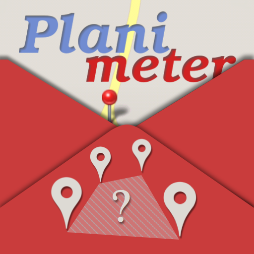
Planimeter GPS area measure vVARY
vistech.projects


About this app
Developer Description
Tool for quick and accurate land survey and measurements on Google Maps
The app supports a new version of Google Maps with better zoom and map rotation.
In this version of the application, you can quickly outline your property or land to calculate distance, perimeter, or area.
Features:
- measure distance, area, and perimeter on the map
- find location by address, zip, and GPS coordinates
- find your current location using GPS
- drop pins on the map by touch or by GPS coordinates
- Target mode for accurate pin placement
- Full-screen mode
- map rotation
- delete last/all points with confirmation
- Map: Satellite, Terrain, and Hybrid modes
- convert calculated area and distance into different units (ha, km, miles, etc)
- Drawing mode: for quick landmark outline (in Pro, with a subscription)
- Edit mode: for pins adjustment (in Pro, with a subscription)
- Setting: adjust workflow (in Pro, with a subscription)
- GPS tracking: measure land and property by walking or driving around (in Pro, with a subscription)
The planimeter is useful for:
- field measurements in farming and agriculture
- property survey for real estate
- parking, road construction, and fixes
- farm and land fencing
- crop adjusters and reports
- building and construction planning
- hiking and trip planning
- landscape design
- land work estimation and quotes
- roof or field measurements for a solar cell installation
- and many other everyday tasks where land, field, and property measurements are needed
Languages:
English, German, and Russian.
More features are coming in the next updates to cover a wider range of applications.
Enjoy the app and please send your feedback and requests to support@vistechprojects.com !
In-app purchases
$0.99 - $29.99 per item
Version Information
- Version
- -
- Downloads
- 50K+
- Updated on
- -
- Released
- Jan 18, 2026
- Requires
- Android Varies with device
Statistics
Google Play Rating History
Rating Distribution
Downloads Over Time
Planimeter GPS area measure has been downloaded times. Over the past 30 days, it averaged downloads per day.
Shaded area shows 30-day prediction based on historical trends
Historical data collection started recently. More data points will be available over time.
ApkTrusted Ratings & Reviews
More from vistech.projects
See more apps
Pie+ camera measure
Free

Laser Distance Meter cam tool
Paid

Millimeter Pro - screen ruler
Paid
ColorMeter camera color picker
Paid

Millimeter - screen ruler app
Free
ColorMeter - color picker RGB
Free

Partometer - camera measure
Paid

Unit Converter 4U quick tool
Free
My Face Shape Meter and frames
Paid
Pupil Distance PD Meter Pro
Paid

Planimeter - GPS area measure
Free
Planimeter Area Measure Guide
Free
Pupillary Distance Meter | PD
Paid
Partometer3D - camera measure
Paid
Diskometer - camera measure
Paid
Pupil Distance Meter | Custom
Free
Similar Apps

Footpath Route Planner
Free

Progressive Pomo: Focus Timer
Paid

Hikingbook: Hike, Bike & Run
Free

Mergin Maps: QGIS in pocket
Free

AI Plant Identifier
Paid

Sports Tracker: Run Bike Hike
Free
Qibla Direction- GPS Compass
Paid

swisstopo
Free

ArcGIS Survey123
Free

PeakVisor - 3D Maps & Peaks ID
Free

Pacer Pedometer & Step Counter
Free

HiiKER: The Offline Hiking app
Free

Leafplant: AI Plant Identifier
Paid

Wristcheck
Free

Map My Run GPS Running Tracker
Free

Bike Route Planner
Paid
Scan this QR code to download

Forwarding you to the page at Google Play market in seconds...
Open Google Play market now